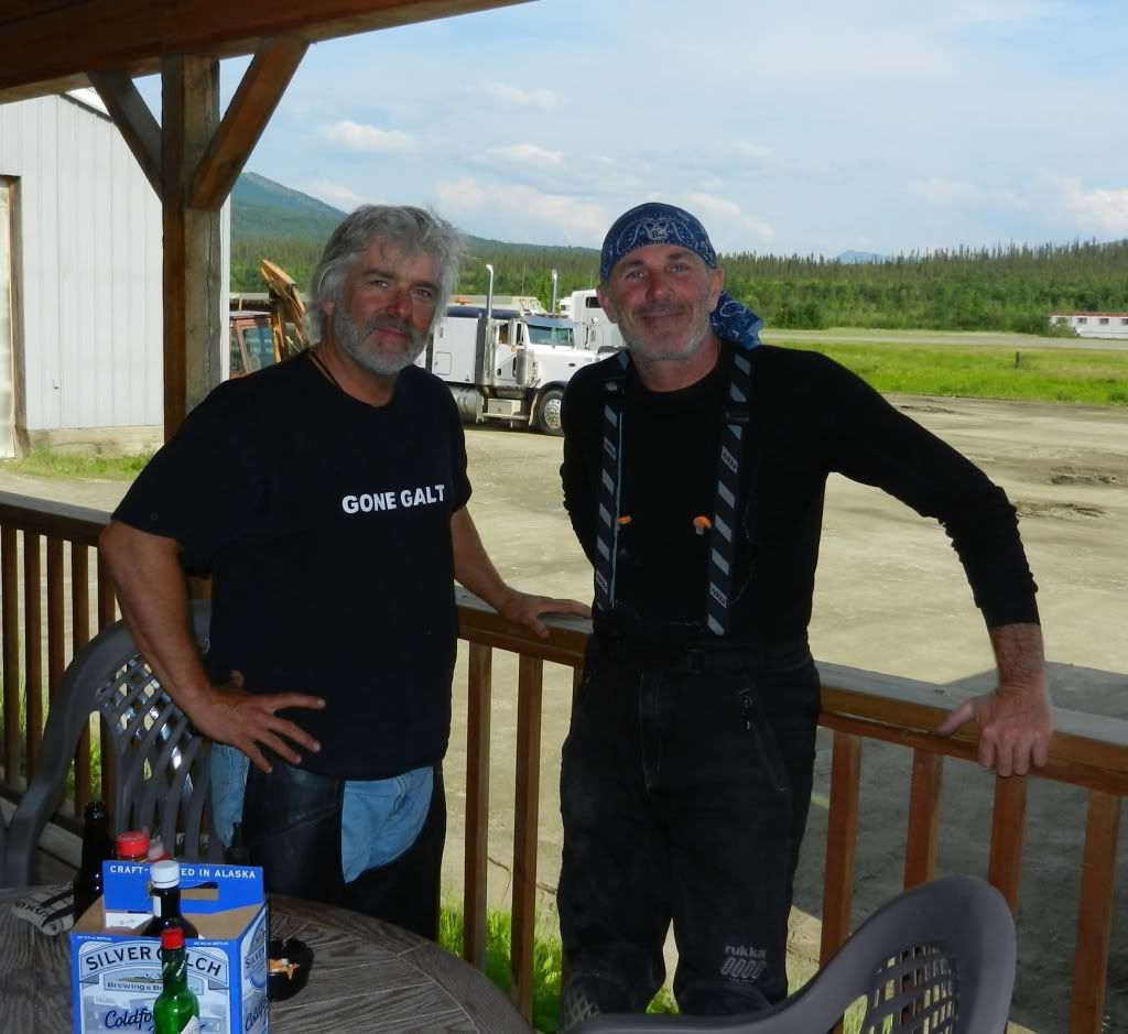
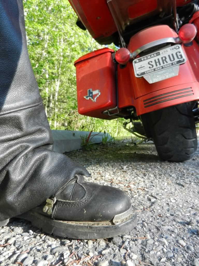
Monday, July 11, 2011

Eastbound and Down

Frank's Hero Wall With Mom's Friend Mary Anna
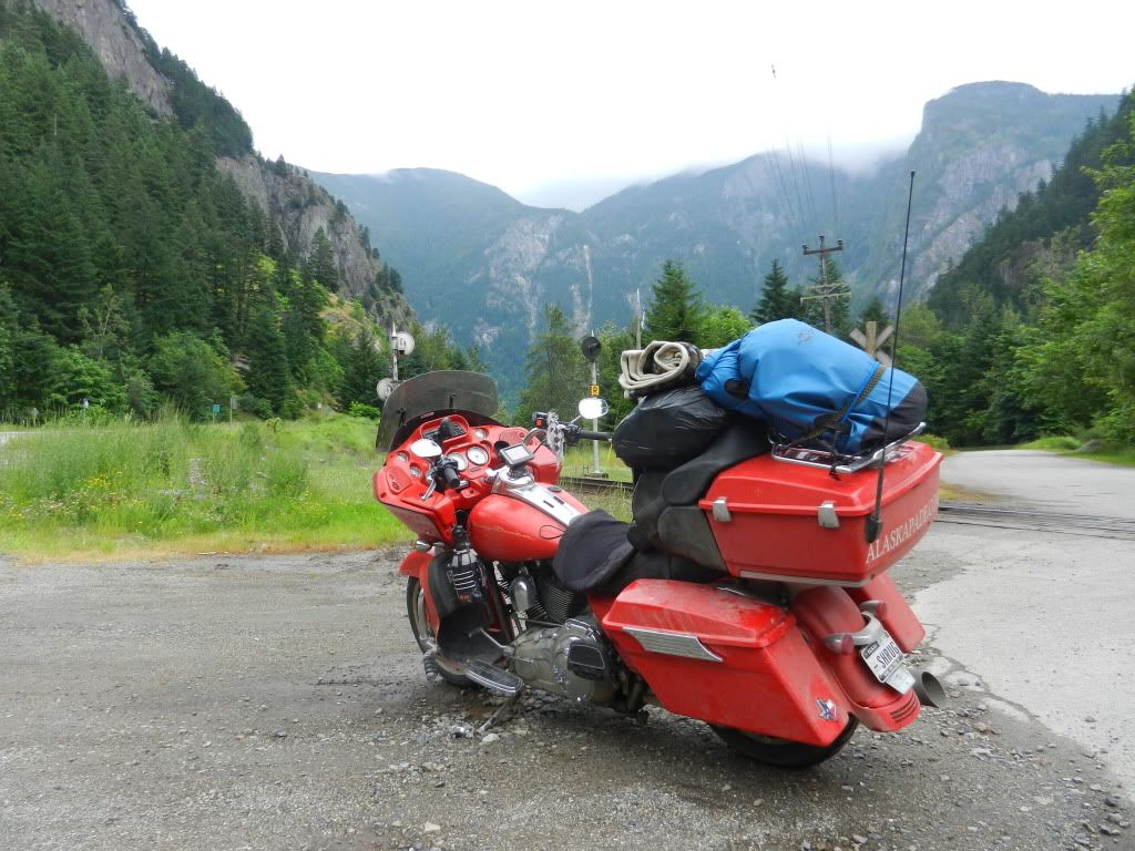
After what seemed like a quick nap, Hester and I were awake and ready to head east toward Sturgis and into the Black Hills.  I arrived rather late the night before and didn't have time to catch up with my mom's friend in Oak Harbor.  I decided to not set an alarm and just wake up when I felt like it.  I needed to exchange my Canadian currency and give Hester a much needed bath.  I was also meeting Mary Anna for a late breakfast, so I was in no hurry.  I hadn't had a real breakfast in weeks and I was looking forward to it.  We met at a diner called Frank's Place and I pigged out.  I had a bad habit of not eating on the Alaskapade and would sometimes go for two days without a meal.  The massive pile of cholesterol, protein, and carbohydrates placed before me by the waitress was a welcome sight. The owner Frank is a former Marine and his diner is loaded to the hilt with military decor, including his Heroes Wall out front.  There is a small Navy station on Whidbey Island and Frank's Place caters to the active duty sailors and the many local retirees.  After scarfing down a much needed breakfast and asking about a defibrillator, I mounted up and headed for the Mulkiteo Ferry.  I had considered taking the scenic highway 20 route across Washington, but since I was getting such a late start, I decided to take the ferry to the mainland and slab it across to Idaho.  I had seen plenty of mountain passes over the last two weeks and I was somewhat excited to get to Sturgis.

There Was Some Animal Shape When I Took This
Camp Cataldo

Shrug at the Borrowed Camp Fire
After a twenty minute ferry ride, I made my way onto 90 and rode east towards Spokane.  The mountain passes into Idaho and around Cougar Lake made for a nice break from the flat concrete slabs I had ridden from Seattle. The bright beams of sunshine played hide and seek with the scattered clouds that dotted the otherwise bright blue sky.  As I listened to Atlas Shrugged, I found myself getting distracted by the animal shaped clouds and briefly reverted back to that childhood game.  I rode through the center of the Idaho panhandle, past Coeur d'Alene to a little town called Cataldo.  There, I found a nice little camping area nestled along some river (that appeared to have no name) where Hester and I could bed down for the night for just $10.  The thought of being able to set up camp in the daylight was appealing, so I pulled in.  There was a nice pile of cut fire wood in the fire pit.  A roaring fire on a cool night of camping next to a quietly babbling river would be perfect.  The only thing that could have made it more perfect would have been something to actually light a fire with.  I thought a moment and remembered that I had a gallon of gas in Hester's starboard saddle bag.  I thought better of it and decided to forgo a fire.  I wandered the campground to get a closer look at the river and noticed a huge camper with a roaring fire.  Now I really wanted my own fire.  I decided to take some of the wood from my fire pit over to the camper and offer it up.  The guy who was staying there had a truck bed full of cut wood, but graciously accepted my unburnt offering and invited me to sit with him.  His kids were grown so he had sold his home and was living out of his camper, which was probably as large as my house.  It had pull-outs, slide-outs, pop-ups, a satellite dish, and I could see a huge flat screen TV through the oversized side window.  I wondered to myself how many gallons per mile it took to pull the thing.  He commented that he was staying at this site in Cataldo for four months and would pack up and move somewhere south when cooler weather sets in.  We sat and chatted for a couple of hours.  It made for a great night, but I forgot to eat again.  I had worked hard the six months prior to the Alaskapade and had lost over forty pounds.  Even still, I could tell I had dropped more weight over the last two weeks.

I packed up camp and headed further east on 90 and then took 287 south at Three Forks, Montana bound for Yellowstone National Park.  I'm not sure what possessed me to go to Yellowstone.  I think the scenic loops there were recommended by some fellow riders.  It was on the way to the Black Hills, so I figured why not.

The ride into Yellowstone was pretty uneventful.  I arrived at the west gate Friday afternoon, paid the entry fee, and went looking for Old Faithful.  I rode up to another biker and we found ourselves stuck in bumper to bumper stop and go traffic.  The park was littered with huge camper trailers with RENT ME emblazoned across them which were full of tourists who I suspected couldn't coherently drive their cars, much less these behemoths.  Much of the park road loop speed limit is 35 mph.  That's annoying enough until you add the campers' snail pace of 20 mph.  My skin was crawling off my back and Hester's paint was boiling.  Maybe I was spoiled by all the close-up wildlife I had seen in Alaska and Canada, but I grew increasingly annoyed with these people stopping every two minutes to jump out and shoot pics of every squirrel and deer they saw.  I wanted to shoot the drivers.  I saw steamy water and a huge crowd of people, and pulled over.  It turns out that there are are dozens of geysers in Yellowstone and this was just one of them.  I got back on the road and realized I was now again behind all the campers I had managed to pass in the previous hour. I finally found the Old Faithful area, which was actually difficult to miss.  All one needs to do is look for the largest collection of poorly parked campers on the planet and you're there.  I shared a parking space with another bike and walked what seemed like a mile past the education center, toilets, gift shops, and park ranger offices to the geyser area.
Old Shrug at Old Faithful

The geyser had apparently just erupted because the parking lot was a mess of campers and minivans all trying simultaneously to get to the single exit and back to the one lane park road.  Horns were blaring and drivers were glaring.  It was a stalemate.  Somebody probably saw a squirrel.  All these tourists who had sat for hours trying to get into the area now had a carload of screaming kids who were less than impressed at the sight they had just waited hours to see and were now forced to wait in more traffic.

I wandered up to the geyser and had no idea when the next scheduled eruption would be.  One would think based on its name that the geyser would be more predictable.  Apparently, it's not that simple.  Of course it wasn't because I was there.  The height and duration of the previous eruption dictates when the next one will take place.  The interval can be anywhere from thirty to ninety minutes.  I sat around and waited for a while and noticed the constant flood of campers still piling into the already overstuffed parking lot.  It was about 5:30 and this might be the last eruption before nightfall.  It occurred to me that when this thing finally goes off, I would find myself smack dab in the middle of the next round of camper mass exodus.  I promised myself that I'd look at it on line and headed back to the parking lot to get out while the getting was good.

Shrug's Shadow & Hester at the Continental Divide
I was heading out to the east gate and fortunately, most of the traffic was heading back to the west from where we all came.  I was surprised to learn the east gate was about fifty miles away.  I fought the temptation to blast on the wide open roads through the park.  This was a good thing because Yellowstone has many cops and I saw several drivers were pulled over receiving citations.  The ride out took Hester and I over 8,000 feet up and included countless waterfalls, rivers, lakes, and canyons.  It was strange riding past snowy hills with kids sliding down them on sleds after having just been in sweltering heat the morning before.  It was even stranger seeing huge lakes like Yellowstone Lake sitting at elevations higher than 7,700 feet.  That altitude and all that water made sense of the snow and cold temperatures I was feeling.  I caught myself being spellbound by the hundreds of small impromptu waterfalls I passed.  The snow was melting and the resulting flows were very picturesque.  The loop to the east gate took me north around Yellowstone Lake and then an additional forty miles before dumping me out on highway 20 in Wyoming.  Getting out of Yellowstone took me much longer than I expected.  When I considered the time spent there and the $20 it cost me to ride through, knowing what I know now, I wouldn't bother with it again.  I'm probably just spoiled.  The scenery is probably amazing to anyone who hadn't just seen all that Hester and I had ridden through in previous days.

Cody Wyoming - Named After Buffalo Bill Cody
I followed 20 eastbound into Cody, WY and got there just in time for the Cody Stampede!  I thought rodeo was big in Texas.  Wyoming LOVES its rodeo.  The highway ran right past the arena where the rodeo was taking place and was completely blocked by local officials.  I pulled up to the barricade and was told I needed to turn around or come back later.  Turn around?  Where the hell would I go? I thought to myself.  Actually, I said it out loud to the guy.  Oops.  I changed my tone quickly and explained that I was heading east to the Black Hills and then lied and said I had a hotel reservation in Cody.  The official asked which one.  I lied again and replied "Holiday Inn" figuring that was a safe guess.  Apparently it was.  He called ahead to another official on the other side of the barricade to let him know I was passing through.  I was hungry and tired and actually considered stopping at a hotel.  I grabbed a can of Monster Energy and filled Hester's tank while searching my GPS for campgrounds nearby.  It indicated a place about 50 miles away and listed the phone number.  I called the number and asked if they allowed tent camping.  They did and I told the lady I was less than an hour away on a motorcycle in Cody to which she replied a late arrival was no problem.  She had the softest, sweetest deep southern drawl and told me to ride safe and she would keep the coffee hot for me.  She added that all the restaurants (the only one, I learned the next morning) were closed, but that she had left over dinner if I was hungry.  It was like talking to grandma.  I couldn't wait to get there.

I followed the GPS directions to the campground.  I use the term "campground" loosely here.  The address on the GPS took me to an old, wooden frame house with a large back yard where an old pickup truck camper was parked.  My back yard is larger than this campground.  Better yet, my back yard doesn't back up to a railroad track through which trains seemed to pass multiple times each hour.  I went to the porch that looked into the office/living room and rang the bell.  It was one of those old doorbell buttons that was backlit, but the cover was broken.  I pressed it and got a slight shock, jerking my hand away quickly. The place reminded me of an old I Love Lucy episode.  It was the one wherein the Ricardo's and Mertz's were on the their way to California and had stopped at a "luxury hotel" in the middle of nowhere, which turned out to be a dump night next to the railroad.

Chloe on Guard
Towards the screen door approached an oddly shaped frame with a face that looked like a crumpled up piece of paper topped with white hair stuffed inside a clear plastic shower cap.  It was wearing a man's wife beater t-shirt and no pants.  As it approached, I thought it might be a woman.  My fear was confirmed when she reached up to unlatch a lock at the top of the door.  Not wanting to get caught staring at her face, I looked down.  My gender suspicion was confirmed when her t-shirt was pulled upward by the upward reaching of her arms.  Her pendulous breasts hung in front of her ample stomach and looked like flattened, inverted bowling pins.  I snapped my head up and probably snapped three vertebra in the process.  At that point, the crumpled paper spoke - and it had the softest sweetest, southern drawl. I gathered my wits and smiled shaking my head as she said "I'm glad you made it. Did you eat in Cody?".  "I saved you some fish".  Fish.  Shrug doesn't do fish.  I paid her $8 and not having the heart to say no, took the paper plate of fish and okra she offered me.  I love okra, but the fish juice had run allover the plate and the smell was starting to make my stomach turn.  As I walked down the steps toward Hester, I was greeted by a very large and very happy blonde Labrador retriever.  "Don't mind Chloe." the crumpled paper said.  "She loves people. She'll ask, but don't give her a bite of fish.  It gives her the shits" she added.  All I could muster was "Yes ma'am" as I sat on Hester and balanced the soggy plate on the gas tank.  I set up my tent and didn't bother to dump the day's photos and video to my hard drive.  I was beat.  The smell of the fish took care of my hunger.  I chugged down a package of peanuts and fed the fish to Chloe who had parked herself outside my tent.  It was warm enough out that I didn't even bother to unroll my sleeping bag.  I stretched out fully clothed on my air mattress and was out before the train near the yard finished passing by.

Sunday, July 10, 2011

Back Into the USA

As with each day on the Alaskapade, morning arrived early.  It's funny how no matter how utterly exhausted your mind and your body might be after a long day's ride, you still wake up at the crack of dawn ready to ride.  Waking up in the hotel in Prince George was no different, except that I wasn't alone.  Scot and I packed our gear and readied ourselves for another day in the saddle.  Scot was heading to his home near Seattle today and I was going to visit a friend of my mom on Whidbey Island, northwest of Seattle.  The previous day's ride had been a slow-paced tour of the Cassiar Highway, which yielded numerous opportunities for us to stop to photograph the abundant wildlife and the seemingly endless majestic scenery.
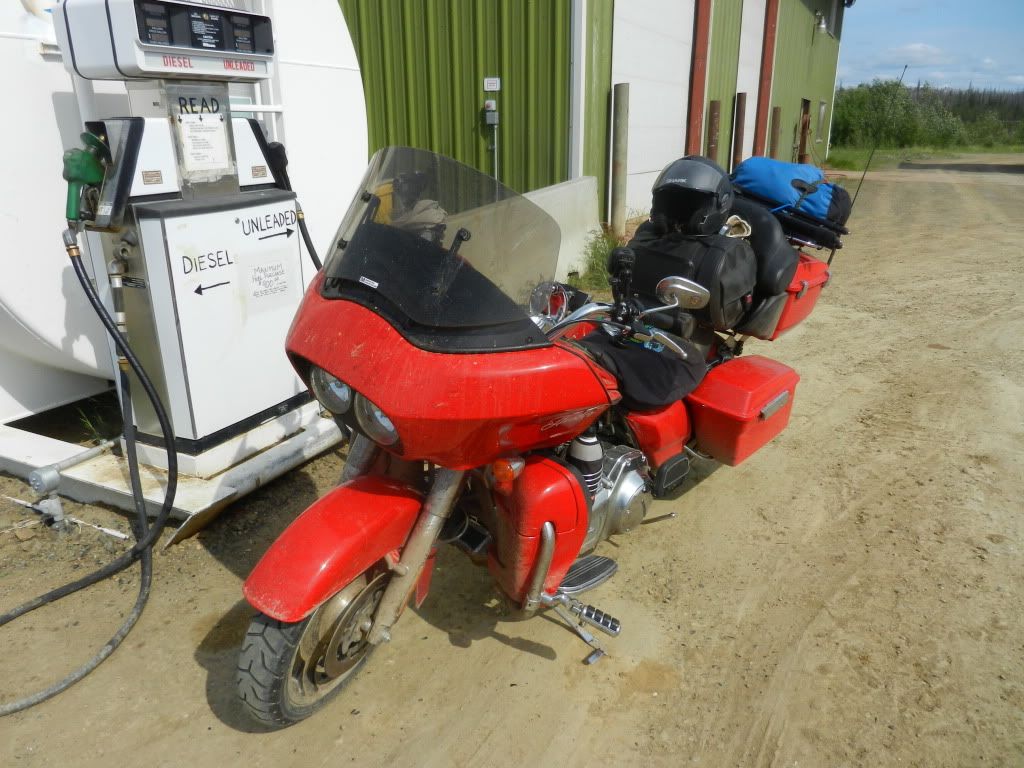
We decided on this morning that we would concentrate on the road and would dial down the tourist mindset a bit in an effort  to try to get "home" with some daylight left.  The route was pretty much a straight shot south on the Cariboo (their spelling, not mine) Highway that would deposit us into Sumas, WA after we cleared U.S. customs.  It was that simple.

Actually, it wasn't.

Top of the 99 Loop
The morning started out with reasonably clear weather and moderate temperatures.  There was only a mild threat of rain, but I donned my rain gear anyway.  I found that in most cases on this trip, I spent more time on the side of the road putting on and removing my rain gear than I actually spent riding in the rain.  It was easier to just wear it since the temperatures were so low.  An added benefit was the fact that the non-porous rain suit fabric blocked the occasional blast of cold air we would ride through in mountain passes and water crossings.  Scot and I had a great time navigating the Cariboo and taking it all in.  There was little traffic to deal with, gas was abundant, and the roads were in great shape.  This would be a relaxing ride, culminating with our triumphant return to the USA.

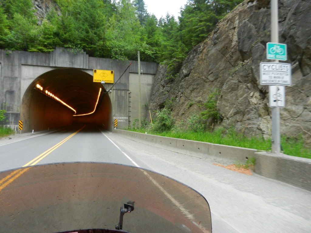
Alexandria Tunnel Entrance
We had stopped for a quick lunch at a Subway in Hat Creek and were saddling back up to leave when a woman in a car asked us if we were traveling south.  Scot answered in the affirmative whereupon she warned us that the previous night's heavy rains had washed out a bridge along our planned route.  She advised we take the scenic highway 99 loop, then catch highway 12 into Lyson.  I was up for another scenic loop, especially if it meant I wouldn't have to sit in a long line of frustrated cagers.  We backtracked a few miles to the 99 junction and headed west.  The word "scenic" was an understatement for this loop.  This was an awesome ride offering stellar mountain and canyon views, switchbacks along and a thousand feet above roaring rivers, steep climbs, steeper grade drops, and numerous tunnels that dissected the mountains.  Entering and exiting the old tunnels gave me a strange feeling of power.  It was as if I alone had some super power over physical matter which allowed me to burrow through mountain rock that was as timeless as the earth itself.  Whenever I exited a tunnel, I looked back at the mountain through which I had just passed and pondered the man hours it took to complete the structure and marveled at the accomplishment having been performed so long ago without the aid of AutoCAD and Google Earth.

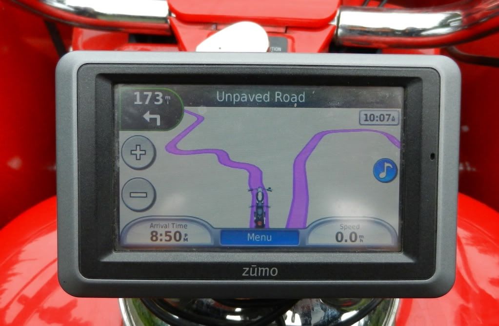
GPS View of the Road Ahead
Our plan from the start of the morning was to concentrate on riding and get through the 600 miles to the US border.  The 99 loop was so picturesque that we couldn't help ourselves.  We probably added an extra two hours to our riding time over the course of the additional 41 miles this loop threw at us.  I think Scot would agree that it was worth every minute.

Highway 99 merged back into 12 and 12 into 1 and we found ourselves back on track on our intended route.  We were relieved that we were able to bypass the washed out bridge and the resulting traffic snarl that went with it.  The series of tunnels eventually came to an end near the town of Hope in the southern end of British Columbia.  We were on a riding high, having just come through roads many bikers only dream of riding and the U.S. border was less than an hour away.  Suddenly, the bottom fell out of the sky and a torrential downpour started.  We were suited up for the rain and didn't let it bother us. We just exercised additional caution on the winding roads and kept an eye out for clueless cagers.  Then, we came upon what appeared to be a long line of cars crawling along at a snail's pace.  We motored along in first gear feathering the clutch and doing that super slow biker crawl, weaving back and forth in our lane trying to see how slow we can go without putting our feet down.  Riders know what I'm talking about.  

Old School Gas Stop Deep in British Columbia
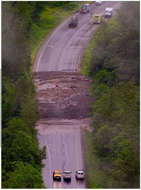
Chiliwack Mud Pack
Eventually the snail pace gave way to that of a Louden Wainwright III tune topic.  We were sitting dead still and in the middle of the road and the rain was pouring.  Cages were ahead of us and behind us as far as we could see.  The road wasn't wide enough for cars to turn around and even if they did, there was nowhere to go.  We were stuck.  So close and yet so far.  A road construction worker was making his way along the line of cars explaining what the problem was to the drivers.  He told us that the Trans Canadian Highway 1 was blocked in Chiliwack by a mudslide and that all traffic would have to be re-routed.  I thought to myself "re-routed where?"  We've spent the entire day dodging washed out bridges and closed roads and this was our only way out.  The worker asked where we were heading.  I told him "Dallas", which caught him off guard a bit.  He said we could stay on the road we were on for about eight miles and offered up a detour from there to get us back on to highway 1.  Eight miles was nothing.  Eight miles in traffic like this in heavy rain was a pain in the butt.  Eight miles at zero mph in this rain was eternity..  The worker looked at our bikes and at the shoulder of the road and said "The shoulder's wide enough if you wanna chance it."  I think Scot was a bit hesitant.  I was not.  I rolled over and slowly rode along the narrow shoulder trying not to piss off the cagers sitting dead still just inches to my left.  Most of them didn't seem to care., but a few made an obvious effort to block us by pulling over to the right.  I just smiled as I gingerly negotiated the muddy slop to the right of the shoulder.  Scot's BMW just sailed through these spots.  Hester is a fat bottomed girl and as such, remaining vertical at such a slow pace was a challenge to say the least.  The thought crossed my mind that after negotiating Destruction Bay and the Dalton all the way up to the Arctic Circle and back, in the blink of an eye I could dump Hester into the mud and lose her in the flooded drainage ditch below.  Despite that possibility, I motored on.  I checked my rear view mirror and saw that other bikes had joined in our little train.  We had to force our way back into traffic briefly to cross bridges with no shoulders, but over time, we covered a great deal of ground all things considered.  Along the way we saw herds of campers, numerous overheated and otherwise stalled cars, a few minor rear end collisions, and some dead eighteen wheelers.  The rain had mercifully slowed to a light drizzle and by now, some of the camper occupants had given up on making any forward progress and were setting up camp right there on the road.  Kids were playing about and waving at at the slow rolling biker procession training by them.  I had grown somewhat comfortable with the sloppy, narrow lane I was navigating and rolled by a Mack truck who blasted his air horn as I was right to its side. I think I actually crapped my pants a little and was reminded of my impromptu trip into KFC back in Dawson Creek.  That seemed so long ago and so far away.  We rode up on a traffic circle that was fed from four sides, all of which were stalled completely.  Scot and I carefully made our way around the circle and back onto highway 1. The entire thirteen mile detour took us about three hours to negotiate.  The road and the skies simultaneously cleared and we could practically smell the U.S. border.  After a quick gas stop and a chance to burn off more Canadian currency, Scot and I discussed the little remaining route we had left before we would go our separate ways.  We saddled up and before we knew it, were facing the U.S. border.

The border crossing was wide open when we arrived.  Scot and I simultaneously took separate lanes and with a few quickly answered questions, were back in the States.  The Customs agent looked at Hester and asked what the Alaskapade.com logo was all about.  I explained briefly and he commented that that explained why I had the dirtiest Harley he had ever seen.  His comment didn't bother me at all.  Hester's filth was well earned.  Scot and I rode together for a short while until I peeled off to head for Whidbey Island on the scenic highway 20 and he headed further north towards his home.  As we waved each other off, I mulled over how much I enjoyed the two days we spent riding together.  What were the odds that two strangers could meet in the Arctic Circle and part ways only to meet up again days later and thousands of miles away?  Scot was a class act and a solid rider who like me, answered the call from Alaska and rode solo to the Arctic Circle.  I respected the guy as much as I liked him.

I was in a state of deja vu as I rode into Oak Harbor on Whidbey Island.  I had been here a year ago having made the 2,300 mile journey from Dallas in 2.5 days on Hester with my mom.  Crossing the bridge over Deception Pass was much easier this year than it was last time.

My mom had owned a small retirement place in Oak Harbor and one of her favorite pastimes was collecting rocks from the nearby beaches and placing them in a small rock garden in front of her place.  While at the Arctic Circle, I found a rock I thought mom would have liked and since my route took me so close to her after re-entering the US, I took it to her best friend in Oak Harbor whose home I was planning to stay the night before heading home.

Tomorrow would be Thursday.  I had ridden over 6,700 miles and still had 2,300 to go to get home.  I had never been to such legendary riding spots as Sturgis, Deadwood, the Black Hills, Spearfish Canyon, Yellowstone, Mount Rushmore, and the Chief Crazy Horse monument.  I had to ride southeast to get home.  I figured I would just ride east to South Dakota and Wyoming and then south to Texas.  I could milk the Alaskapade for a few more days.

Friday, July 8, 2011

Day ??? ( I Lost Track) Into Prince George, BC

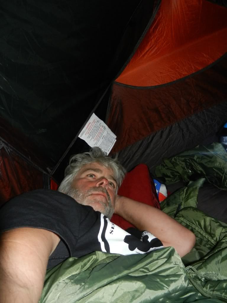
This day started like many others on this adventure.  I awakened staring at the bright orange inside ceiling of my tent.  After a brief moment of complete disorientation, I realized where I was and thought about the events of the previous riding day.  What a long day! What an adventure! What an idiot!  What kind of fool takes a chance like that?  On the one hand, I rode a thousand miles, I did it alone, and I did it not on a highway slab, but across some of the worst terrain imaginable and in the worst of weather conditions.  I was proud of that.  On the other hand, I rode a thousand miles, I did it alone, and I did it not on a highway slab, but across some of the worst terrain imaginable and in the worst of weather conditions.  It was a pretty stupid move.  It was pointless to ponder the rationality or stupidity of it all. The manly man in me still thinks it's kinda cool despite the abject fear I felt for a while.  The rational part of me thinks...well, I tend to just ignore that part.
1,011 Mile Roadside Hotel

I rolled up my sleeping bag, deflated my air mattress,  and packed everything I could before I even exited my tent.  I crawled out and saw an older couple a few feet from me bent over examining something in the dirt between their camper and my tent.  They looked over at me, said "good morning" and turned back to look at whatever it was.  Naturally curious, I wobbled over, still shaky from the previous night's dead still sleep to get a glimpse.  There on the ground between our two camping spots was the biggest turd any of us had ever seen.  I'm not talking about a big plop like a cow drops or a pile of nuggets like from a horse.  This was a fully shaped, tubular turd with tapered ends that was loaded with twigs and what appeared to be unchewed berries.  It was coiled up into a pile and was the diameter of a tennis ball can and about twice the length. The man said "I thought dinosaurs were extinct."   I looked up at the woman and said "Did you do that?"  The coffee the man had just began sipping spewed forth like projectile vomit and he doubled over in laughter.  She laughed and replied that she was about to ask me the same question, pointing at their camper and reminding me that they had a toilet. As bad as I wanted to, I couldn't bring myself to take a picture of it in front of the couple.  I wanted to ask them to take a pic of me knelt down next to it.  The thrill of it all was quickly overshadowed by he hoard of flies and merciless smell, so we stepped away and did the usual morning introductions.  They were on a driving vacation across Canada and were on their way back to Vancouver.  I packed the rest of my gear and hot the road.

River Stop Where I Met Scot

Scot From Seattle
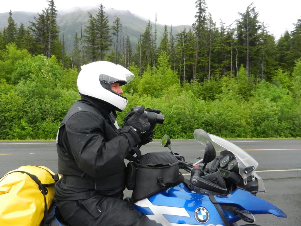
A few miles down the road I saw a hotel, gas, and a small store.  I had stopped in desperation the night before because I figured there was nothing ahead of me.  Had I seen that hotel, I might have tried to get a room.  As I rode by it, I saw a guy loading up a BMW Adventure bike and did the usual biker one finger down wave.  A few moments later, I rode up on a cool piece of river rapids that winded itself up right next to the road.  I pulled over to get a quick pic and as I was getting back on the bike, the BMW rider I had seen mounting up at the hotel up the road rode up to me and said "Hello Scott.".  "Hey Scot" I replied.  Scot and I had met briefly at the Arctic Circle monument three days prior.  When I was up there, I saw a group of BMW riders arrive  together and Scot was among them.  I thought he was part of their group. I was wrong.  Like me, Scot was on his own and was also heading down to the Cassiar Parkway.  He had left Fairbanks on Sunday and made a couple of stops before we ran into each other here at Deese Lake in British Columbia.  When he mentioned he was riding the Cassiar to Seattle with a planned stop in Prince George, I said that I was too and we decided to ride the 1,200 mile route together.  After the harrowing night I had just experienced, riding company was a welcome sight and any guy willing to go it alone like I had was probably a cool guy.

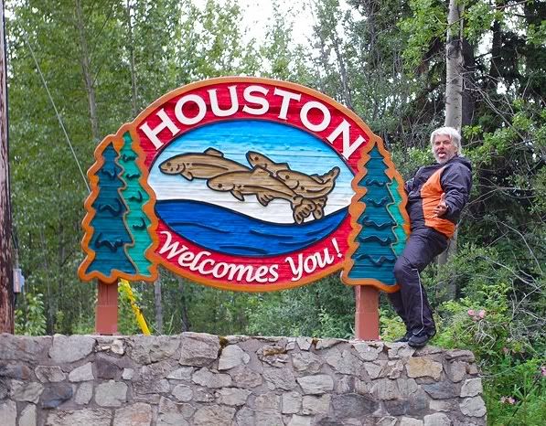
Houston, We have a Problem
Highway 37 eventually gave way to Highway 16 (the Cassiar Highway) in a little town called Kitwanga.  I had heard great things about the Cassiar and I have to say that it delivered.  Scot and I spent the day carving corners, crossing mountains, climbing hills, and diving into steep drops.  Our riding pace was pretty much the same and we seemed to have a similar mindset for stopping to snap photos and take in the scenery.  Despite the rainy weather, the 600 mile ride to Prince George would be child's play compared to my ride yesterday.  

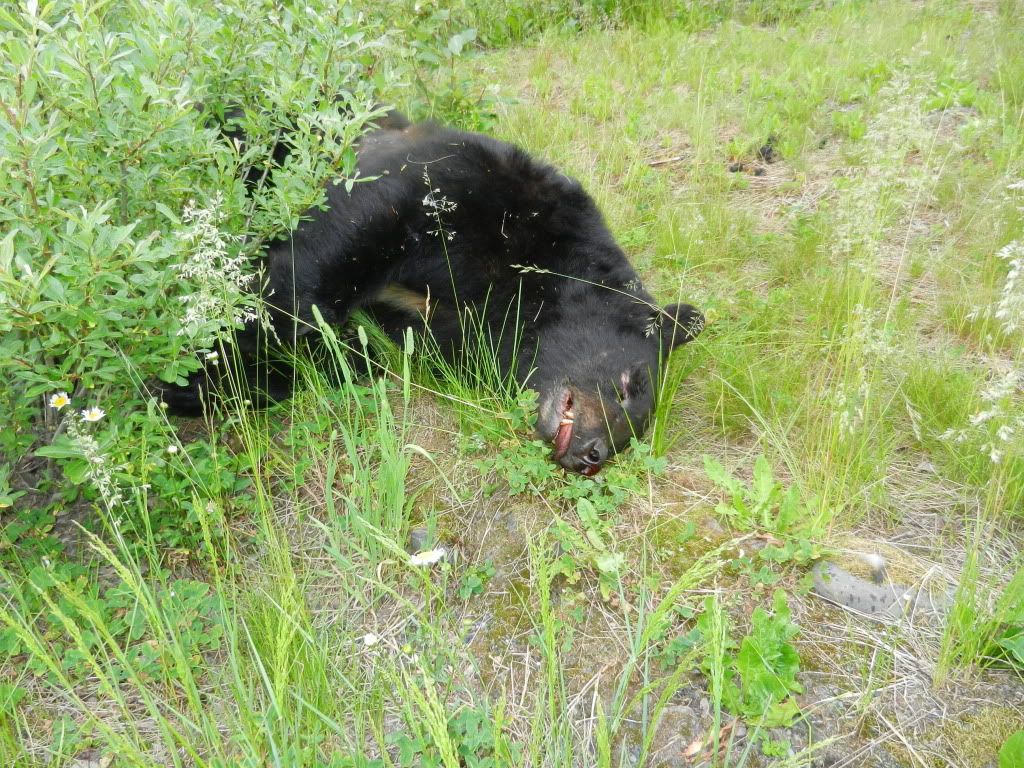
The Cassiar also delivered when it came to wildlife.  Scot and I stopped numerous times to watch bears and moose.  We saw a mama bear with three tiny cubs in tow.  It's hard to believe something so cute can be so dangerous.  I was really psyched to see a huge bear right next to the road.  I caught a glimpse as I rode by and turned Hester around to get a closer look.  Sadly, this huge bear was dead.  It didn't look as it had been hit by a car or attacked by some other animal.  It was just dead...and it stunk!  The sound of the flies hovering around it was reminiscent of my military days in Central America.  I snapped a quick pic and raced to catch back up with Scot.

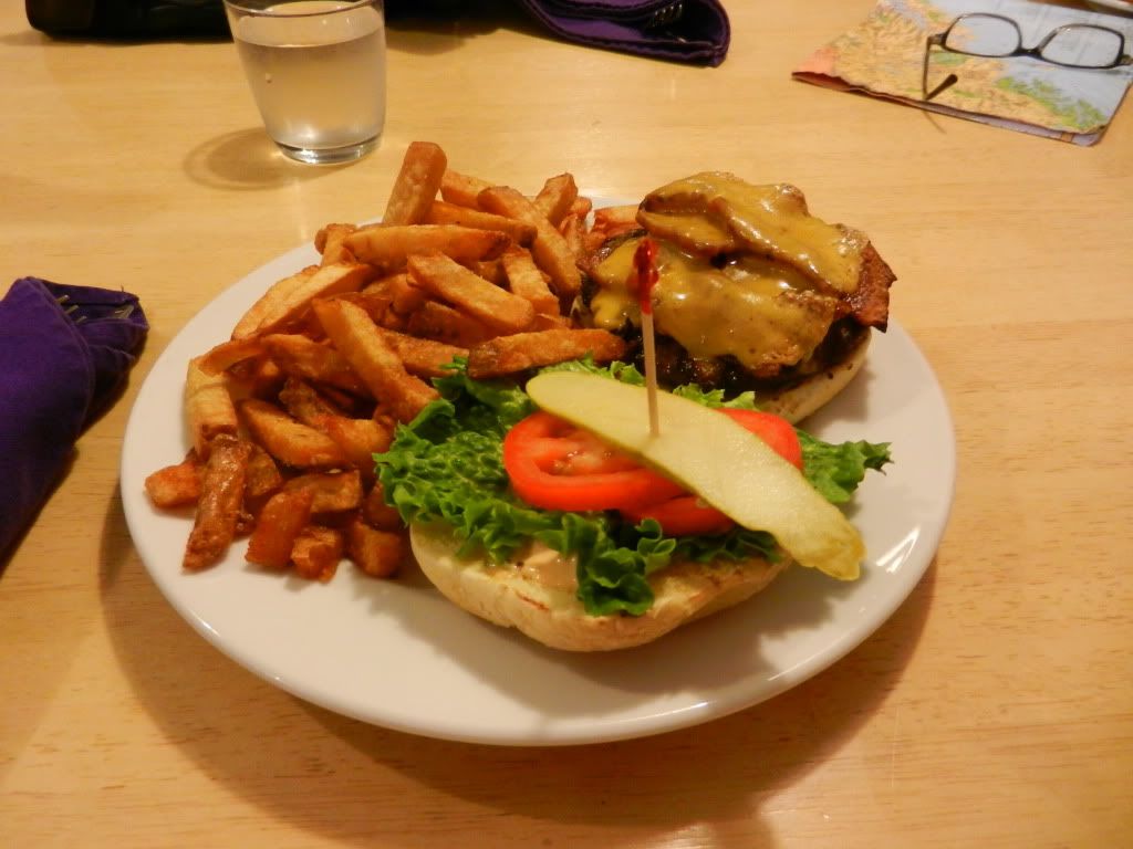
Our southbound route took us through numerous small towns with no apparent industry or other community sustaining infrastructure.  There would just be a collection of houses or trailers in the middle of nowhere.  We stopped for lunch and gas in a place called Bells.  The bed and breakfast there was quite nice.  The bacon cheeseburger and fries were even nicer.  I met a couple there who were up from Texas.  I was in the middle of nowhere in Canada and still meeting people from home.

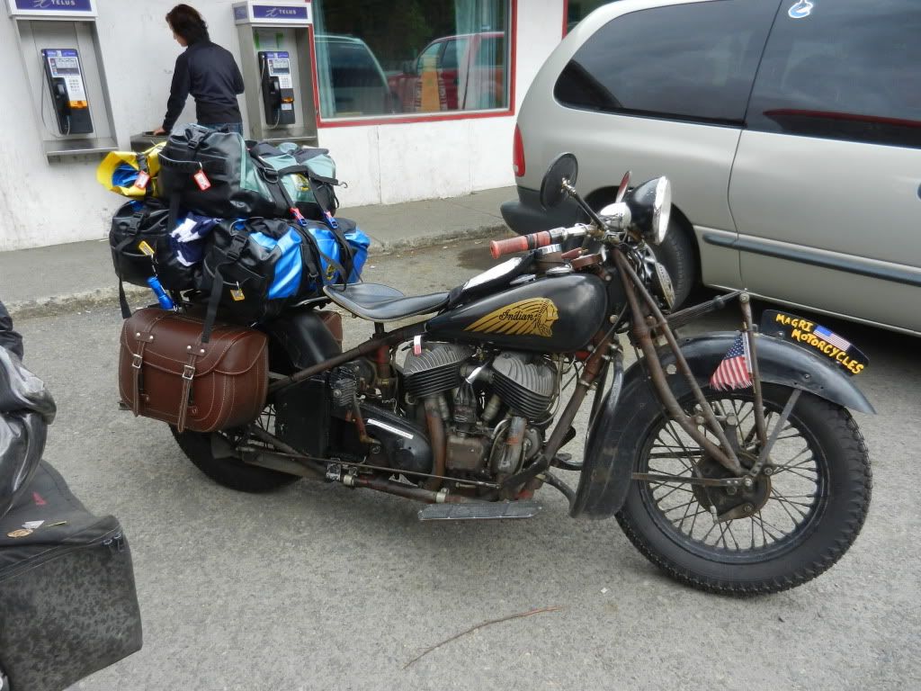
At another gas stop, Scot and I noticed two really old motorcycles parked out front.  One was an Indian and if memory serves, the other was a Triumph.  The riders were a father and son who were attempting to make their way up to Alaska from San Francisco.  They said their pace was about 45 mph and that they were obviously in no hurry.  I thought I had balls riding a Harley to Alaska. I admire their effort, but I don't think I could take such a slow pace.


As the day wore on, the clear British Columbia skies and crisp air morphed into some pretty serious rain.  There were low hanging clouds as far as we could see and the darkness came early.  I had been camping most of my trip and while Scot had camping gear, he had been hoteling it.  I mentioned that I planned to camp again and Scot agreed.  After riding in the rain for what seemed like hours and finally arriving in Prince George in the dead of night, we both decided to just find a room.  Setting up camp in the rain sucks and packing up wet gear the next day is awful.  To make matters worse, we had both just rode up on a horrific accident north of Prince George.  A van struck a huge moose and there were parts everywhere.  It was a gruesome scene that had apparently taken place immediately before we rode up.  People behind the van were scrambling out of their cars as emergency workers weren't yet on the scene.  Scot and I rode by slowly and stopped at the first open station to top off our tanks.  We confirmed with each other that what we thought we saw was really what we saw.  We also confirmed that neither of us wanted to pitch a tent and decided to split a hotel room.  I informed Scot that I was not in the habit of going to hotels with strange men I just met, but that in his case, I would make an exception.  We found a clean place with Internet access, two beds, and a shower.  After a much needed hot shower, I laid in my bed and considered the timing that took place back at the scene of the moose strike.  Had we been at that intersection when the moose was in our lane, that could have been us on the road.  Some say timing is everything.  I think luck has a lot to do with it too.  Tomorrow, we would cross back into the United States.  Scot would go home and I would stop to visit my mom's friend and deliver a rock.  I still had over 3,000 miles to ride to get home.

Thursday, July 7, 2011

And So Begins the Long Ride Home

I arrived back in Fairbanks around 10:30pm.  The ride in was relaxed; almost solemn. Suddenly, the most important event in my life, the focus of most of my attention and energy, and almost the very reason for my being over the last eight months - was over.  I was exhausted.  I had been on the road for 18 hours.  I felt numb in parts of me I didn't know existed.  I was unloading Hester in the parking lot when my friend Jeff showed up to congratulate me.  As sore, tired, and completely spent as I was, I was also almost ecstatic.  Jeff and I talked about the ride for a bit before I went to bed.  While I laid there, I was torn between my body's begging me to let go and drift off and the unwillingness to allow the moment to end.  Some part of me rationalized that as long as I stayed awake, it wasn't over and that yielding to the euphoric exhaustion was to acknowledge the end of the very chain of events that created it. The exhaustion won and I slept like the dead.

I knew when I planned this trip that if I simply rode straight home after reaching the circle, I would dread the entire ride back.  So, I planned to make the return trip as interesting as possible with planned stops that would only add a few days to my itinerary.

I awakened at 4:30am with much less enthusiasm than I had when I departed on the Alaskapade and when I started my Circle run.  I was awake nevertheless and took a few moments to review my planned routes.  I had been relying heavily on my Garmin Zumo GPS and it had been very accurate, even along the Dalton.I knew that I would have to backtrack along my inward route almost as far as Watson Lake in the Yukon Territory.  I knew also that that route included the dreaded ride through Destruction Bay and Haynes Junction where I almost bit it on the way in.  Short of riding south to Anchorage and taking a ferry into British Columbia or the States, there was no alternative.  I had paid tremendous prices to plan and execute this journey.  This was one more price to pay.  I am one of those people who at times will allow himself to dwell on the bad in things to the point that they will almost depress me.  That horrible road was all I could focus on and I found myself dreading the return trip because of that one stretch of terrain.  If there's a benefit to such stinking thinking, it's probably that the event which I dread so much never usually turns out to be as bad as my mind had convinced me that it was.  This was the case with the Destruction Bay ride.  Maybe it was because I had ridden it before and had an idea of what to expect.  Maybe it was because it hadn't rained and the surface was dry.  Maybe it was because I didn't have 600 miles under my butt immediately before I attempted it.  Maybe it just wasn't that bad in the first place.  Whatever the reason, the southbound ride through Destruction Bay wasn't nearly as bad as my mind had psyched me out to believe it would be.  Don't get me wrong; It sucked bigtime and I never want to ride anything like that again; not on a Harley anyway.

Burwash Landing Welcome Center
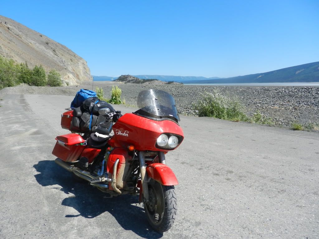
The hell that is the road through Destruction Bay ends traveling southbound in the Yukon Territory at Burwash Landing on Kluane Lake.  Burwash Landing is little more than a sign and an abandoned airstrip in the grass.  Kluane Lake is an enormous, picturesque expanse covering over 150 square miles.  It's glass smooth and reflective surface provided Hester and I with a tranquil welcome from the pounding we had just taken.  It was almost as if God was offering an olive branch as a reward for completing what was arguably the worst ride Hester and I had ever taken.  I would find out later that God was only kidding and the worst was yet to come.


Hester Enjoying Kluane Lake


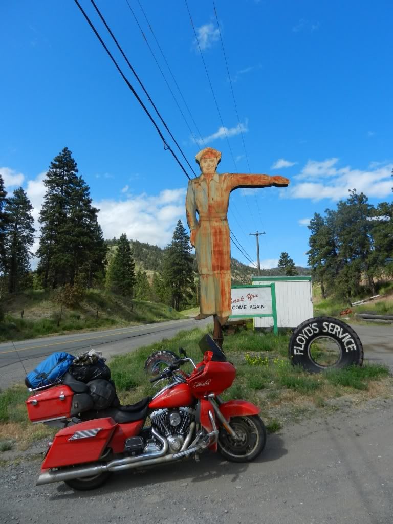
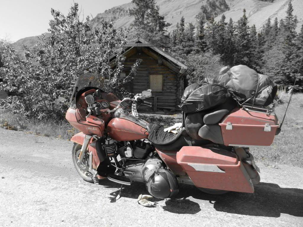
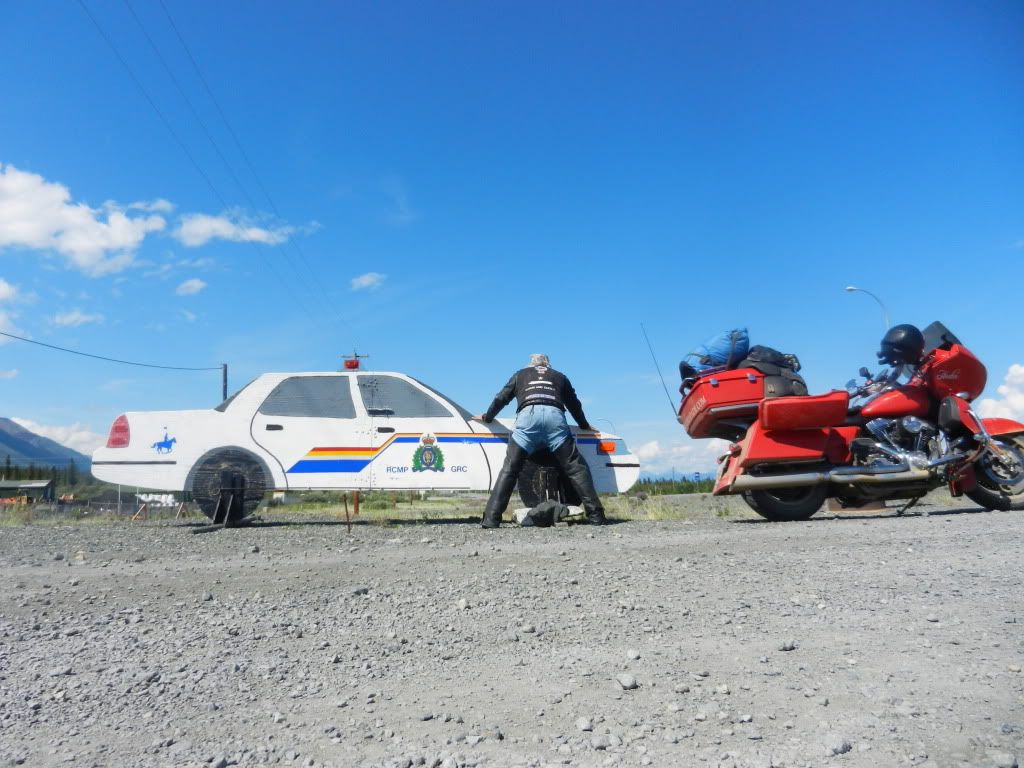
I stopped aside the lake to rest a moment and to look Hester over for loose nuts and bolts.  I also adjusted and re-tied my gear.  Everything had slipped to one side and while it was tied down tightly and wasn't going to fall off, it made it difficult to ride vertical and it just looked stupid.  I noticed my right saddle bag was hanging low and upon examination, learned that the bolt attaching the mounting bracket to the frame had vibrated loose and was missing.  That was nothing a few zip ties couldn't fix.  Once back in the States, I could find a Home Depot and replace it.  Until then, I would keep an eye on it.  I mounted up and motored on.  Once I hit Haynes Junction, I knew I was out of the woods.  The roads north of Haynes were under heavy construction and there were several stretches were vehicles had to be led by a pilot truck.  The waiting point was usually manned by a cute girl; much too cute to wear a hard hat and reflective vest and be standing out in the middle of nowhere with a stop sign on a pole.  They always waved motorcycles to the front of the line and they always asked where I had been.  When I replied "the Arctic Circle", the response was always "on that?!"  After negotiating all the construction zones, one's natural tendency is to speed up; not to make up time, but because you're tired of going so damn slow for hours on end.  This is the perfect place for cops to sit and rake in the dough from unsuspecting motorists like me.  I suppose the availability of officers is limited up there because the only cop car I saw was the infamous fake police car made of painted wood.  From a distance, it looks real enough to fool most anyone and it certainly fooled me.  I laughed when I saw it on my way in and laughed even harder when it fooled me again on the way down.  I had to sop and get a pic.

Haynes Junction gave way to Whitehorse, which made for a good gas stop.  Getting gas in Canada was actually trickier than getting gas in Alaska.  My GPS had a listing of fuel stations along my route, but it was woefully inaccurate.  I learned on my way up that if I had less than half a tank of gas and saw an open station, that I had better stop and top off.  My general rule of thumb when traveling is to never buy gas at the first station that appears in a small town.  Their prices are usually higher because they snare all the suckers who are desperately low on fuel and have no choice but to stop there.  I had to remind myself that at only six gallons, a few pennies per liter were insignificant.  I didn't have to remind myself on the way down that in the remote parts of Canada, that first station might be the only station.  Even if there are stations, their schedules seem to be based on whenever the proprietor feels like being there.  Even though I stopped regularly, there were several times when my fuel gauge read empty and the miles remaining indicator dropped below ten miles and read "Lo".  I was carrying a spare gallon of gas in my saddle bag and the knowledge that it was there and the additional forty miles if afforded me offered a great deal of comfort. I was pondering the fact that I had not had to use it on Hester when I rode up on a BMW sitting alone on the opposite side of the road.  I saw its rider about three miles ahead of me and stopped.  He had run out of gas and was walking back to the nearest town near Teslin in the Yukon.  Tesln was only a couple of miles away.  I wondered why he doidn't gas up there.  Maybe there was no gas.  Nevertheless, I unloaded some gear on the side of the road, took him back to his bike, and gave him my gallon of gas. He rode up to me as I was repacking Hester and I followed him to Teslin to make sure he got there.  He was on his way to Alaska also and had a thousand questions.  We talked a few minutes as he filled up and then took off to the north.  Even after all that, I debated topping off Hester's tank, but did so before I left.

At this point, I needed to start thinking about finding a place to sleep. I wasn't tired yet and I knew the sun wasn't going to go down this far north.  I looked at my odometer and considered the possibility of making this a 1,000 mile Iron Butt day.  On my way up, I rode over 900 miles two days in a row.  I was pretty beat after those days, but how much worse could another 100 miles be? I decided to find out and so that I wouldn't wimp out on myself, I sent a message from my Spot Connect telling the world of my plans.  Now, I was accountable and had to to make it happen.  I had motivation, I had conditioning, and I had a case of 5-Hour energy shots.  I could do this.  The only potential obstacle that stood in my way was the availability of fuel.  My route would take me across Hwy 1 (the ALCAN) and would snake its way in and out of British Columbia and the Yukon Territory and across the Canadian Continental Divide before hitting highway 37 south towards Prince George.  If I couldn't do a thousand miles, I at least wanted to make it to the highway 37 junction.

Up to this point, the weather had been perfect.  It was cool enough to wear my leathers, but not really cold.  I had once again settled into that riding zone where man, machine, and road became extensions of each other.  That zone can be a difficult place to reach, but just like when I reached out and actually touched the Arctic Circle sign, once I got there, the feeling was worth the effort.  I had finished "The Pillars of the Earth" and "We The Living" audio books and by now was knee deep into listening to "Atlas Shrugged" again.  At 67 hours of unabridged audio, Atlas would probably carry me all the way home.  As I rode and listened, I couldn't help but notice the daunting clouds ahead of me.  Every serious rider knows that feeling one gets when the streaks of rain can be clearly recognized in the horizon.  You hope against hope that there's a clear path for you to ride through it, but you know you're going to get wet.  Just hours before at Kluane Lake, the skies had been an indescribable color of blue.  The magnificent display before me was of multidimensional clouds that were flat on bottom as if willingly yielding a view to the mountain peaks beneath them.  Above the clouds, the crystal clear horizon seemed to reach infinitely into space.  I felt like this might be what astronauts saw from above.  Like the an astronaut, I felt freed from gravity.  It was as if I had no origin and no destination.  I was just on the move and had this amazing view to infinity in front of me as a backdrop to wherever my destination might be.

But now, the clouds had closed their ranks and there was no more blue sky.  Occasionally a crack would appear and laser-like beams of sunlight would pierce through to the ground.  Such light would normally offer inspiration to the prospect of better weather ahead.  In this case, it served only as a reminder of just how bad the rest of the sky looked and perhaps as a warning of what was in store for me ahead.  I continued my east by southeast route toward highway 37, counting the miles as I rode.  I passed bears, moose, buffalo, bighorn sheep, and foxes along the route.  On the way up, I stopped and took photos.  This round, I was focused on missing any rain that I could and hitting my 1,000 mile Iron Butt goal. 

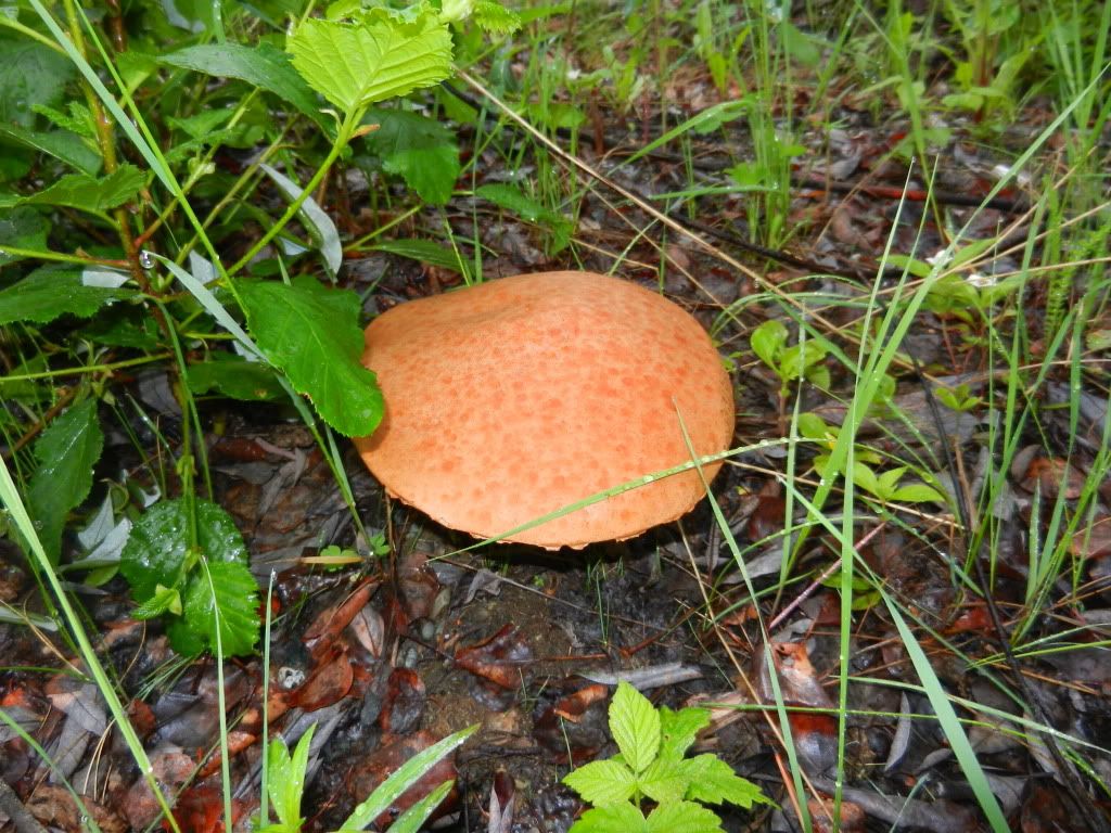
Eventually, mercifully, the ALCAN/ gave way to highway 37 south.  I was running low on gas again and it was after 9:00pm.  I had decided that if I didn't find an open as station at the 37 intersection, I would ride the additional forty miles on to Watson Lake.  I knew there would be no open gas station there, but I knew also that I had enough fuel to get me to the camp site at which I stayed when I was riding up.  Watson Lake is not a friendly town and I felt a sense of threat there when I rode through the first time.  My camp site was about five miles past town, safely away from the derelicts I described on an earlier entry.  I figured that worst case, I could camp there again, get gas in the morning and backtrack to highway 37 south.  Hester's luck held and I found an open station at the ALCAN/37 intersection.  I pulled in as the owner was walking out and locking up.  The look of exhaustion and desperation on my face must have been sincere because his wife felt sorry for me and convinced him to let me in to buy gas.  I asked what was ahead of me on 37 and he said nothing for a couple of hundred kilometers.  I thanked them profusely for staying and selling me the gas and sat on Hester looking at my GPS and paper maps.  Highway 37 leads to the Cassiar Highway, which is said to be one of the most scenic routes in the Yukon.  Scenic or not, it was the route I had to take.  Recent severe rains in the area took out a bridge somewhere between Watson Lake and Dawson City.  37 south was my only route home.  As I sat looking over my maps, an old man who looked like a western gold prospector asked me where I was heading.  When I told him south on 37, he replied "Watch out for the shroomies.  They're out thick tonight".  I replied asking what a shroomie was.  The store owner said that mushrooms grow rapidly after hard rains and that groups of gipsy like people go out in droves to collect them.  He added that they are very territorial and are not to be messed with.  I didn't (and still don't) know if these mushrooms are the dope kind that get you high or if they're just food.  I didn't intend to find out.  I had an agenda.  In about 100 miles, I would hit my 1,000 mark and I could find a place to sleep.

I headed south on 37 as the rain started pouring pretty heavy again.  I noticed a tent on the side of the road with a sign on it that read "I BUY MUSHROOMS".  I thought to myself that maybe the shroomies were just an odd looking arm of legitimate commerce and that these were indeed food mushrooms.  I didn't stop at the tent to ask.  Within minutes, the pavement on highway 37 gave way to graded dirt roads.  I thought to myself, oh great!  I'm back in Destruction Bay.  It was like Déjà vu all over again.  Honestly, I think Destruction Bay was easier than this.  I was riding this time in the rain, after 900 miles, and it was dark. Dark?  I thought to myself, why is it dark?  During my thousand mile ride planning, I had failed to consider that I had traveled far enough south that there was no more midnight sun.  The clouds that had been so inviting, so high and proud above the horizon earlier today had now descended into a brooding ceiling of fog which seemed to hover just feet above my head. Randon fingers of fog draped down to the ground like depressed gray columns  in the dungeon of an ancient castle. They seemed so thick that I actually found myself steering around them and fighting to remain vertical on the gravel road.  At one point, I saw an opening to the sky that yielded a prism of colors reminiscent of the Pink Floyd album Dark Side of the Moon.  It wasn't a rainbow.  It was a vertical wall of color; difficult to describe.  I had to stop and get a picture.  I was focused upward at the colors when I heard voices.  I pulled the camera down and saw a group of people working in the field below the prism. They were wearing tie-died shirts, knitted caps, and shorts and were carrying bags.  I thought to myself  that these must be the shroomies the guy at the gas station mentioned.  One of them dropped his bag and came walking toward me.  I dropped my camera and turned to ride away.  As I got back onto the main dirt path, I noticed a few of them hopped in an old pickup truck.  I twisted the throttle and screamed away as fast as Hester would take me.  For miles, I swear I kept seeing headlights behind me.  Perhaps I was just being paranoid.  In my mind, I figured they saw me taking pictures and thought I was spying on them.  Nevertheless, I ran Hester like I stole her and after about fifteen minutes, no longer saw headlights behind me.

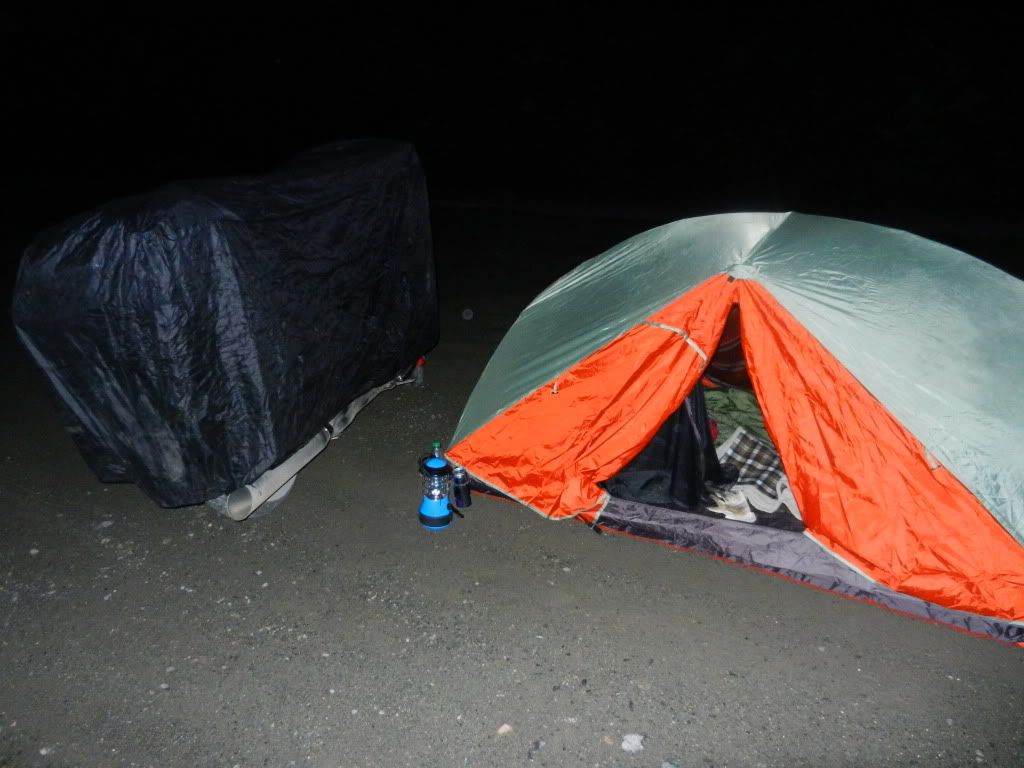
I continued southward and while I was relieved that I was no longer being pursued (If I ever really was) I was more concerned now with wildlife.  I bet I saw more bears that night than on the entire trip leading up to it.  Seeing bears in the wild is exciting.  Seeing bears in the same wild where you're looking for a safe place to camp is a different kind of excitement.  In Canada, you can pretty much pull into any open space in the wilderness and pitch a tent.  In previous days, it had been little effort to find places to sleep.  Tonight was different.  I could barely see the sides of the road, so finding a clearing was a challenge. Add to that the fact that I was numb from head to toe (except for all the parts that hurt), I had been on the road for 18 hours, I was cold, wet, and I hadn't eaten in 36 hours, and there was one other feeling I couldn't shake.  I couldn't quite put my finger on it then, but looking back, I recognize what it was.  I was afraid.  I haven't been genuinely afraid in over twenty years.  Genuine fright is a powerful emotion.  I suppose in my case this time, it motivated me to just keep moving.  I had plenty of gas.  I knew I could just keep riding till dawn if I had to.  Finally, I saw a clearing where two camper trailers were parked.  I grabbed a handful of brakes, swung Hester around, and nestled in between them with each camper about twenty feet on either side of me.  I noticed when I was setting up camp that as my flashlight beamed into the woods, I could see the reflections from multiple pairs of eyes staring back at me.  These woods were full of foxes.  I saw several of them hovering around as I was setting up my tent.  Foxes are strange animals.  They trot about and have a gate like dogs, but they sneak around like cats.  I didn't know much about fox behavior, but I knew I didn't trust them.  They seemed to be working cooperatively, planning against me.  Like I said, I was really tired.  For all I know, there may not have been any foxes, bears, or shroomies.  I finished setting up my tent, transferred the day's pics and videos to my hard drive, and wasted no energy fighting sleep.


Monday, July 4, 2011

Pfffffftttttt

Well, crap!
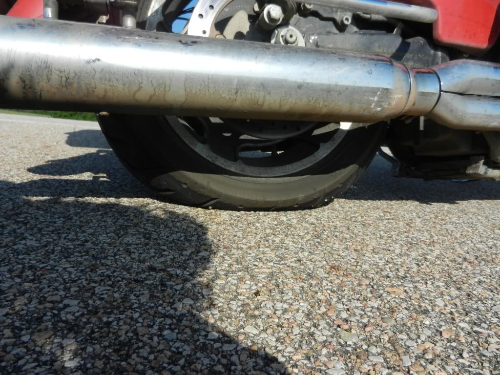
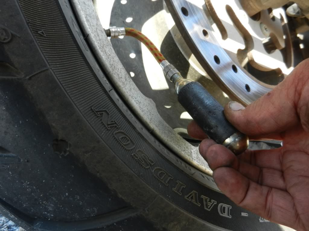
I arrived in Alaska on tires with 19,000 miles on them, then with new tires rode over 4,500 miles through the worst terrain imaginable, only to get a flat in Kansas.  KANSAS!

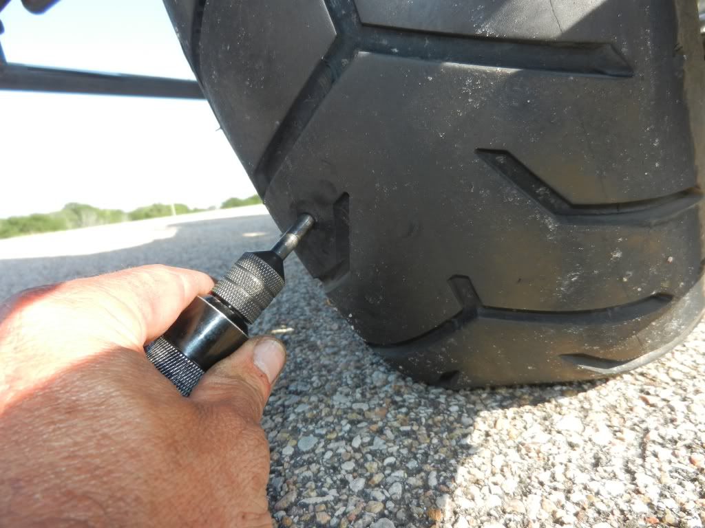
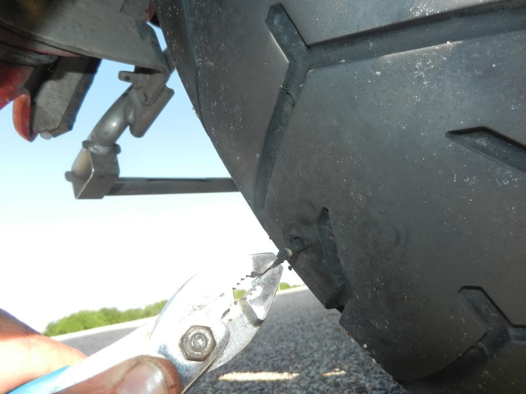
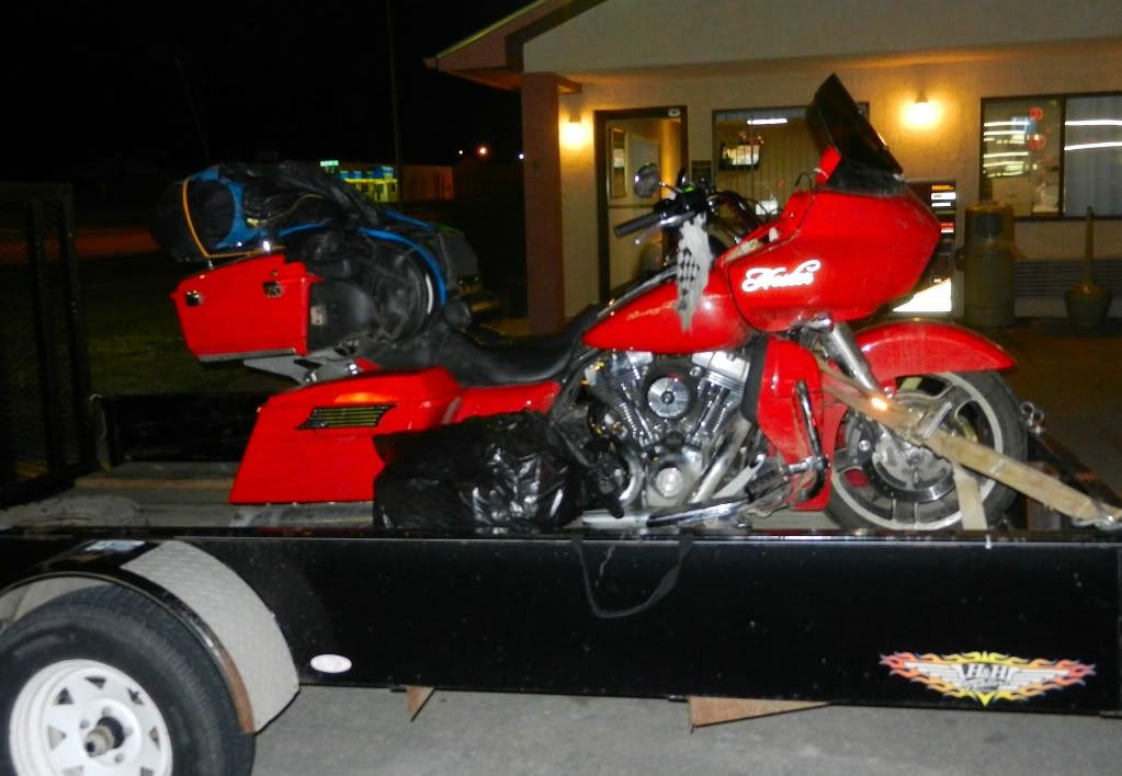
I plugged a hole and discovered a second puncture when I dumped the first CO2 cartridge.  Plugged the second puncture and had just enough CO2 left  to allow me to limp to a station twelve miles away.  It all looked golden until five miles later when the tire let loose again.  Waited two hours for a tow on a holiday.  Fortunately, there's a Harley certified indy shop here in Concordia.  Hope to make it home tomorrow.

Hey, I have another story to tell and at least I get to sleep in a hotel tonight!


Saturday, July 2, 2011

In Sturgis

FTS in Sturgis


Made it to Sturgis today and am hunkering down for the night hoping the coming storm doesn't blow my tent away.  I'm having trouble with my Spot Connect, so I don't know if my location tracking will resume tomorrow or not.

I have SO much to write about Including:

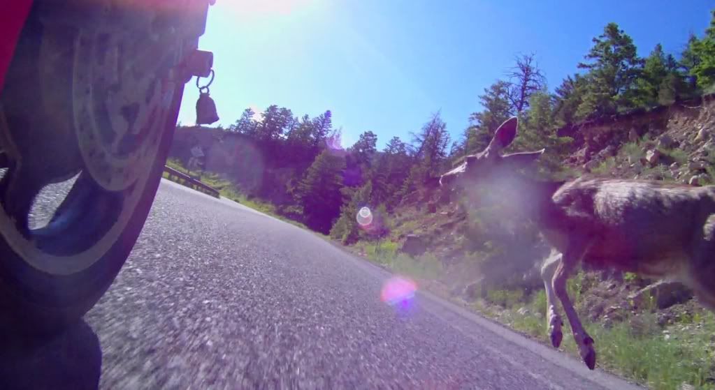
Deer strike in Bighorn Pass (video screen capture below)
Hester: 1   -   Deer:0


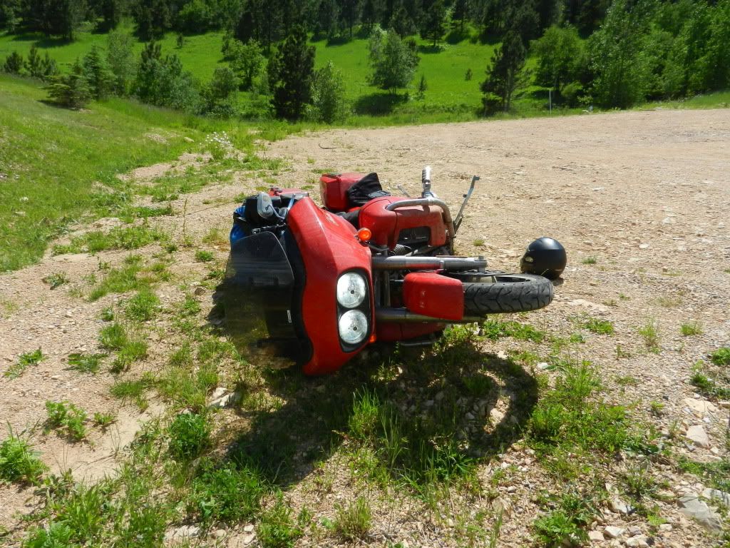
Dumped Hester at the Deadwood sign


Other usual crap that seems to follow me...

Can't do much of an update now.  I'm hitchhiking on someone's internet connection.

Mount Rushmore tomorrow

Thursday, June 30, 2011

Still Lots to Write

I just don't have Internet access.   More to come, I promise...

Sunday, June 26, 2011

Day 8 - The Dalton Highway

Life is not measured by the breaths you take, but by the moments that take your breath away. - unknown

I awakened and sprang off the couch like a kid leaping out of bed on Christmas morning. It was 6:00am Alaska time and the skies were clear and bright blue. In the grand scheme of things, this was just another days riding on a crappy road.  I kept trying to convince myself that as I got dressed.  I never managed to though.  I was stoked and like that kid at Christmas bolting to the tree to see what Santa left, I bolted out to Hester to see what Alaska had in store for me.  Hester's dirty appearance was misleading.  She was fully fueled and had fresh tires and brake pads.  She had run like a top on the entire trip.  I've ridden long and hard for a week straight and she's hung in there.  My Gold wing riding friends can try to convince me of their machines' superior reliability after they make their trip to Alaska and back.   And BACK. Hmmm...I hope I don't have to eat those words.  I digress...

My friend Jeff let me leave some of my gear in his corporate apartment.  I unloaded my spare clothes and a few other items, taking only a few tools, some water, and my camping gear.  A lighter load could only make the ride easier.  I mounted up and headed north on the Elliott Highway.  The Dalton Highway begins about 70 miles north of Fairbanks near a town called Livengood.  I chuckled to myself when I considered that I was certainly livin' pretty good the last week.

The weather was perfect with a light breeze, crystal clear skies, and temperatures in the low 70's.  Still, I wore my chaps, a full leather jacket, and my Shark Evoline modular helmet.  I had been advised that the trucks on the Dalton are notorious for throwing rocks and other debris.  I had come too far to take senseless chances.  I also knew that despite the extended daylight, the temperature up here still drops significantly during the late hours.  The Elliott Highway provided a nice primer for what was to come.  Fully paved with sweeping, banked turns, and surrounded nearby by trees and by mountains at a distance, the Elliott allowed me to settle in to a riding groove.  I was in the final chapters of my "Pillars of the Earth" audiobook and was anxious to reach the end of that adventure as well.  When it ended, I queued up my Rush playlist.  As the opening riffs of "The Spirit of Radio" blasted forth, I grabbed a handful of throttle, stretched my legs out on my highway pegs, took a deep breath, and rocketed north.

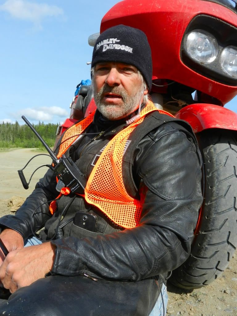
The Elliott Highway gives way to the Dalton highway with no fanfare; not even an intersection.  There's just a sign.  I stopped there to put on my CB radio and an orange vest.  The truckers are notorious taking up the entire road  and I wanted a means of reaching them and to be as visible as possible.  I was advised to use channel 19 to announce my presence at blind turns and on the roller coaster hills.  The Midland radio I used was small and clipped to my vest.  It had an ear bud and a voice-activated throat mic. At one point, I forgot about the voice activation feature, but was promptly reminded of it by a trucker who had grown tired of hearing me sing along with Rush.

For some reason, I expected the road to turn to shit as soon as I was on the Dalton.  I was pleasantly surprised.  The first hour or so on the Dalton was as fast and smooth as the Elliott had been, although that would certainly change shortly.  Hazards abound on the Haul Road.  I saw more moose and sheep than anything.  It was common to come around a corner and find either a pile of rocks or an animal sitting there.  I  believe the most nerve racking part of the Dalton was the unknown.  I found myself holding a such death grip on the handlebars that my forearms went numb all the way to my elbows.  I had to force myself to relax and realize that Hester had this.. It was going to be alright.

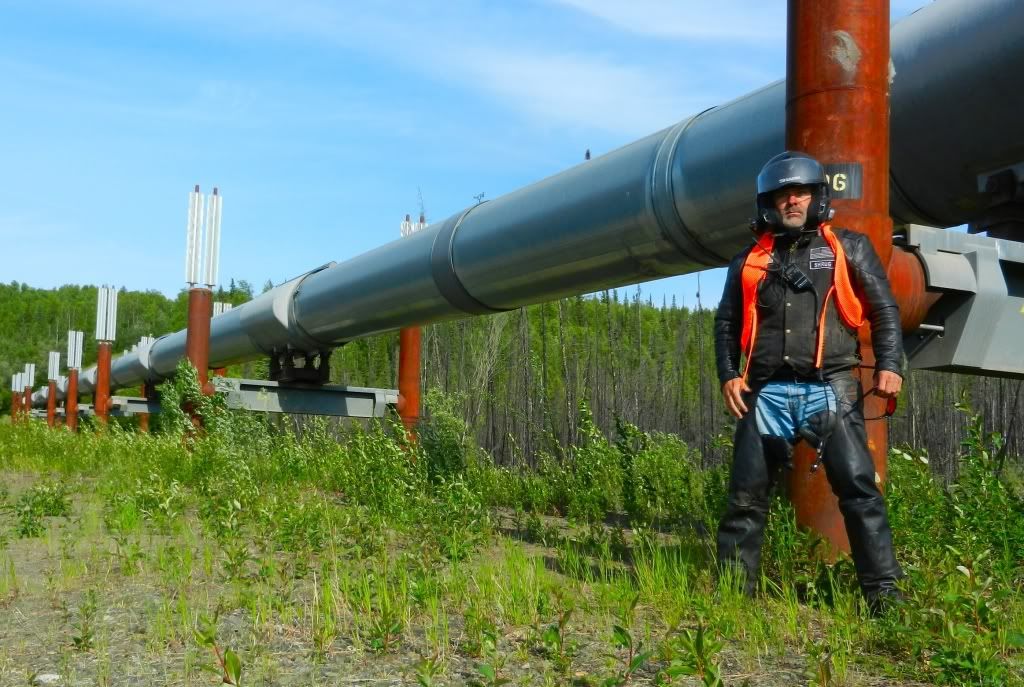
After a while the Trans-Alaskan Oil Pipeline came into a pretty regular view.  There are several cut-outs along the Dalton with roads leading to the pipeline.  They're gated to keep vehicles out, but a person can just walk through them.  I've seen images and video footage of the pipeline, but nothing beats getting a first hand look.  Under construction  from 1974 to 1977, the pipeline spans 800 miles from Prudhoe Bay to Valdez and crosses three major mountain ranges along the way.  Over 420 miles of the structure lies above ground on specially engineered flexible trestles.  I read that this is to prevent pipe temperatures warmed by the hot oil from melting the permafrost and wreaking environmental havoc in the Alaskan ecosystem.  

There are several sections that were constructed along known wildlife migration paths and as such were built extra high to allow wildlife to pass under it. When the first oil production started flowing through the pipeline, it took three weeks for it to reach Valdez from Prudhoe Bay.  It was an engineering marvel, built under the harshest conditions, and was designed to last twenty years.  When I considered the fact that it's 34 years old now I wondered briefly how well it's holding up.  This pipeline is a testament to how man can engineer and oversee a solution which can exist in harmony with nature and still serve the purpose for which it was designed; even with 1970's technology.  It really negates the eco-Nazi argument that we can't safely extract oil from the ANWR.

Eventually, the road winded down to the mighty Yukon river and the famous 1/2 mile long bridge that traverses it. I motored slowly across the wooden planks and took in as much of the scenery as I could.  I was awestruck by the structure and by the river it spanned.  I stared at it in my mirrors as I made a sweeping left hand corner and was so distracted by the sight that I rode right past the only available fuel stop for the the next 180 miles.


Hot Spot Cafe Dining Room
Before I knew it, I saw a sigh for the Hot Spot Cafe.  I had read about the Hot Spot and knew that I wanted to stop there.  You can't say you did the Dalton if you don't stop at the Hot Spot Cafe.  I rode up and saw that Hester was the only vehicle there; well, the only running vehicle.  The place was run by a pale-skinned woman wearing a turban and who had no eyebrows.  She was congenial, but spoke with the raspy voice of a chain smoker. One might think that a person living in this tiny box in the middle of nowhere might be excited to see people.  One would think otherwise after a visit to the Hot Spot.  Lack of congeniality notwithstanding, the woman cooked a great burger.  The Hot Spot also offers a plethora of souvenirs ranging from shirts, bottle coozies, and even a book titles "Sex in a Tent".  I was curious, but didn't look.  I could have spent hours just wandering around the place looking at all the crap laying around.  I reminded myself that I had an agenda and needed to gas up and head further north.  I asked where the gas pumps were and the woman just stared at me.  It was then that I learned that I had motored past the last fuel stop before Coldfoot a few miles back at the Yukon River Bridge.  I did the math. I had just over a half tank of gas and I carried a spare one gallon can in my right saddle bag.  I knew that five gallons at 40 miles per should get me to Coldfoot.  I was petty sure I could make it. Then, I considered the fact that the gas up here is low 87 octane and remembered that Hester's mileage drops considerably on low octane fuel.  The bridge was only about four miles away.  Common sense got the best of me and I decided to backtrack to the bridge for fuel.  I was in no hurry and I had plenty of daylight.  Better safe than sorry; especially out here.  I paid for my lunch and as I was mounting up, was asked by a trucker who had stopped in "You going up or down?".  I replied that I was going up, to which he replied "On THAT? You're outta your mind":  I thought for a second and said "If I were going down, then I would have already made it up...on THIS; so what's your point?"  Apparently, he didn't have a point because he didn't answer.
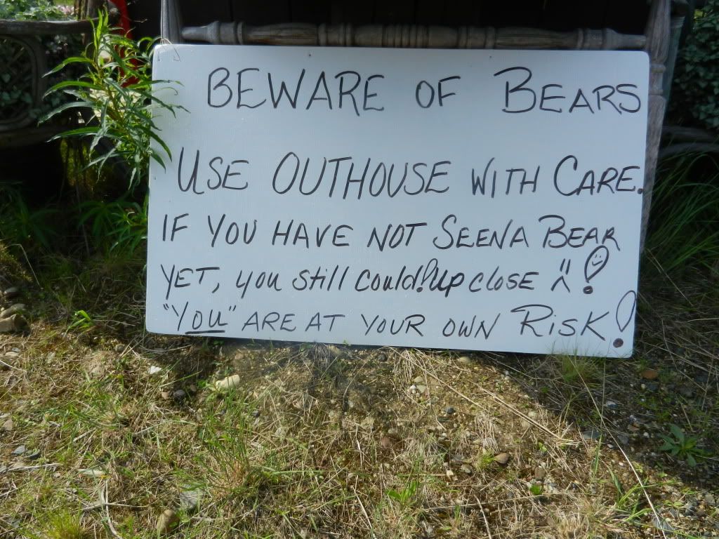
Sign Outside Hot Spot Bathroom
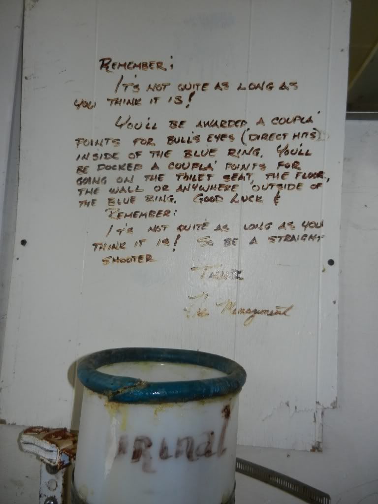
Sign Inside Hot Spot Bathroom


Yukon River Bridge Gas Stop


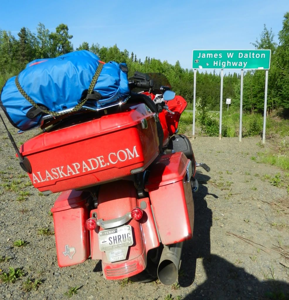
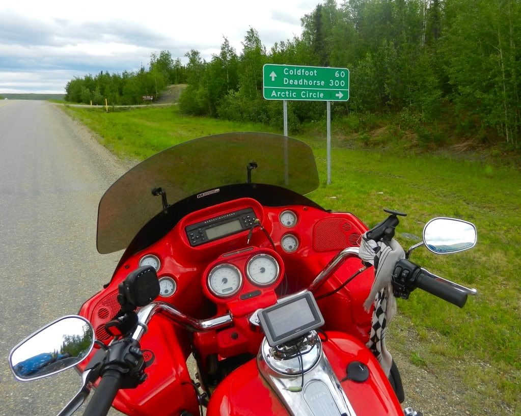
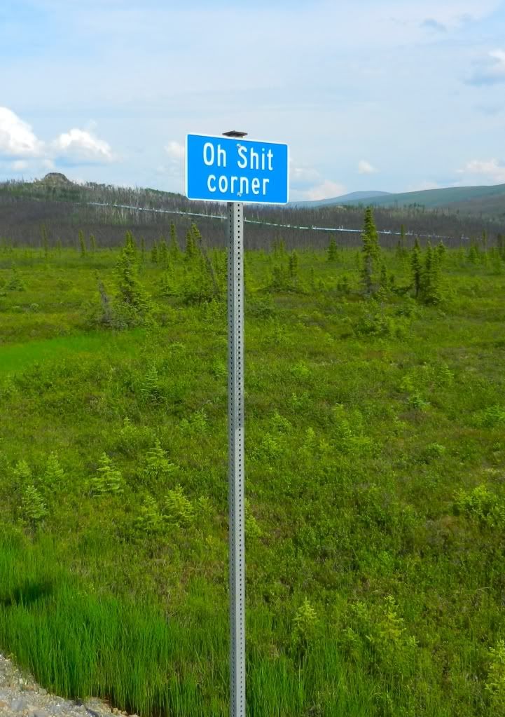
I rode off and backtracked the three or four miles to to the Yukon River Bridge.  At $5.55 per gallon, gas there was the highest I've paid on the trip.  I filled Hester's tank and took off again knowing that my next stop would be at the Arctic Circle.  Shortly after the gas stop, I heard traffic on my CB radio.  I couldn't quite make it all out, but I did hear the words "roller coaster" in the transmission.  Before I knew it, I was at the roller coaster hill.  This was the steepest and tallest hill I've ever ridden.  As you approach it and start the descent, it's just like a roller coaster in that you can't see beyond the bend to view the road all the way to the bottom.  I found myself standing on the foot boards in a failed attempt to see the bottom.  I spoke up "Motorcycle northbound into the roller coaster" hoping my CB transmission would be received by any vehicles heading my way.  To my surprise, I got an answer.  A state worker in a pilot vehicle was sitting at the top of the other side of the hill waiting on the trailer she was escorting to arrive.  "You're clear, but don't stop in the bottom" was all I heard.  I blasted into the depth and yelled "Woooo hoooooo!!!" all the way down.  "Kinda fun isn't it?"  I heard in my earpiece. Shit!  I forgot about the throat mic again.  I grabbed a handful of throttle and raced back up the other side.  The ascent out wasn't as steep as the descent was, but I was well aware that it would be on my way back down to Fairbanks.  Other super steep hills followed, but they paled by comparison to that first one.  The next interesting corner was an off camber steep uphill climb on a gravel covered surface.  The challenge was to maintain enough speed to climb the hill, but not go so fast as to lose traction in the loose gravel. Add the off camber aspect to the mix and you'll understand why they call one of these spots "Oh Shit Corner".

I rode on through the multitude of terrain and surface changes.  It's strange.  The Dalton has many stretches of perfectly maintained two lane highway.  Then, it instantly changes to loose gravel over almost impossible to see (until it's too late) ruts and potholes.  Then, there were stretches of dirt that were under construction and had been groomed by road graders.  The grooves forced me to ride fast in order to stay vertical.  Both the front and back wheels were fishtailing wildly.  All I could do was hang on, stay alert for holes and rocks, and hope my inertia carried me through. I was reminded of the road from Destruction Bay a few days prior, but at least the Dalton was dry.  Another hazard of the Dalton Highway is the truckers.  They transport everything from oil to heavy machinery between Deadhorse and the rest of the world.  When a truck passed by in the opposite direction, it wasn't so bad if I happened to be on one of the few paved surface sections.  But when they approached and passed me in the slop, it's all I could do to hang on and maintain control.  I learned quickly to approach the top of every blind hill  from the far right because if a truck was approaching, they would undoubtedly be smack dab in the middle of the road, if not in my lane.  The Dalton is there for the truckers and for the most part, the truckers see motorcycles as a nuisance.

About two miles from the Arctic Circle turnout, I came upon two Honda Gold Wing trikes parked on what there was of a shoulder.  One of them was missing a rear wheel.  The driver had hit a pothole that ripped the wheel right off the axle.  I pulled over and asked if they had been able to reach help.  They had not.  I tried my CB radio; nothing.  So I used my Spot Connect to send a message to their emergency contact.  It took a few minutes and I had no way to know if they received it, but judging from the responses I've received from the other messages I've sent to the Alaskapade readers, I felt confident that someone would know.  I left them a liter of water and headed on up the Dalton.

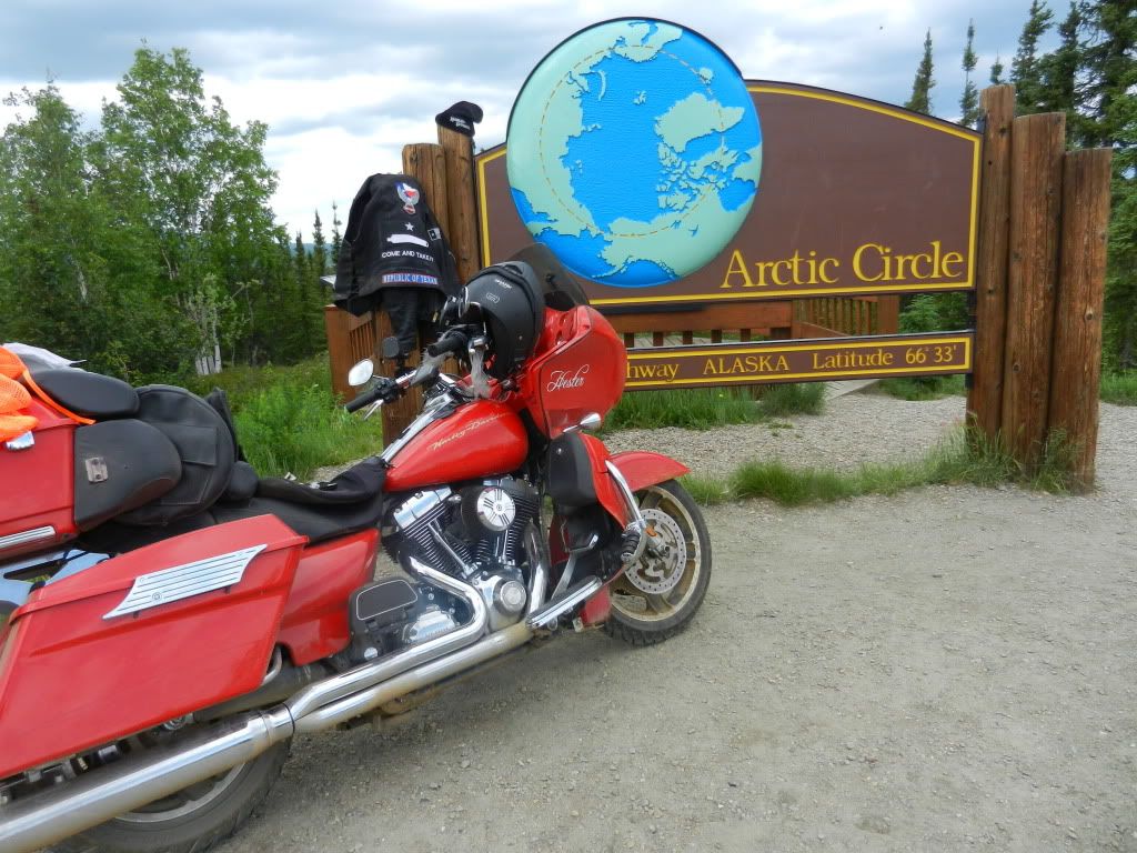
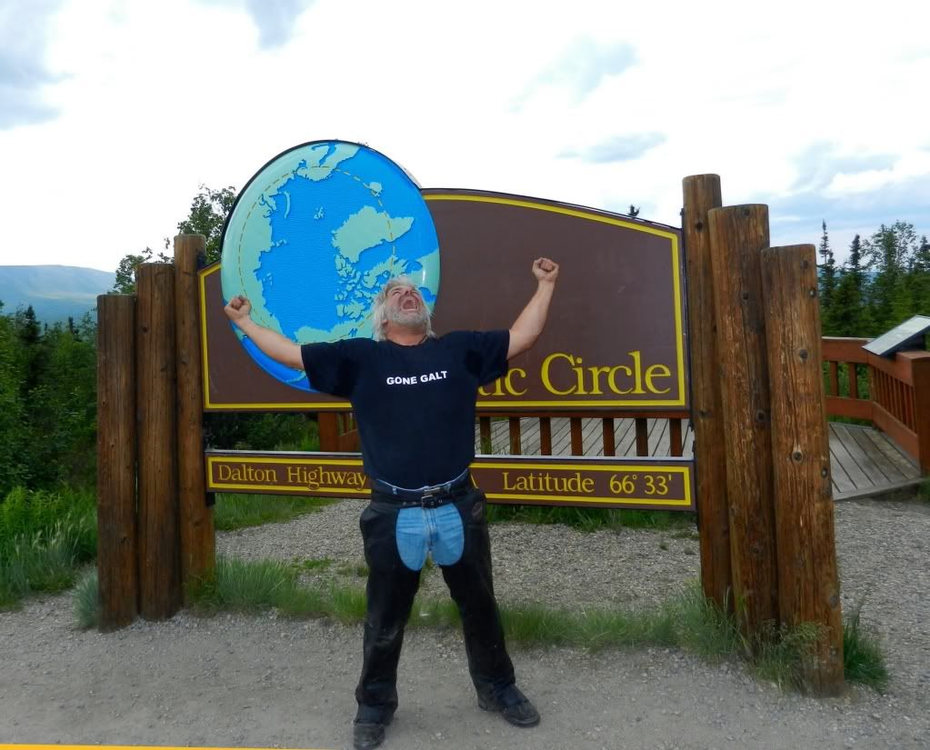
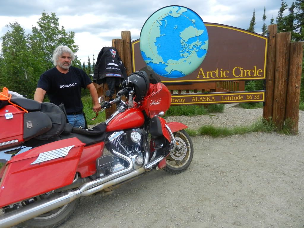
I knew it was only two miles to the Circle.  My heart was pounding and even under my leather, I could feel the hairs on my arms and neck bristling like a Rhodesian Ridgeback who just heard a strange noise in the middle of the night. Then I saw the sign.  I slowed to a stop, snapped a quick picture, and then drew a large breath.  The turnout was another off camber, uphill chunky gravel road that curved to the left.  I rounded the corner and about 1/4 mile later saw it.  Five years of dreaming, eight months of planning, and 4,300 miles had all come to this.  I rode into the parking lot, dismounted and literally ran up to the sign and slapped it with both hands.  I couldn't believe I was really there.  I felt a sense of accomplishment like never before.  I haven't felt so happy since my sons were born.  I have to admit that it was a pretty emotional experience.  I thought of the people who told me I shouldn't do this; I couldn't do this; I wouldn't do this. I thought of Jeff who gave me a comfortable place to sleep and a base of to ride from in Alaska, of Hermann and Joeann's hospitality back in Jasper, and of Jim from Harley Davidson Forums who gave me so much advice from his experience.  But mostly I thought of my friend Martin.

Marty and I worked together years ago and we both bought our Harleys about the same time.  We were pretty much the same age and were in similar places in our lives.  We both had grown kids, a little money and time to actually try to pull something like this off.  We talked about this trip several times and every year something came up.  Life always got in the way.  I remembered how I was stunned when I learned about his untimely death and how I decided after his funeral that I  was going.  We had let life get in the way until death took his dream away.  I remembered telling his widow that I was going and wanted to bring something of Marty's with me.  Then I remembered his hat that she sent me.  I took the hat out of my saddle bag, put it on, and just sat back for a while taking it all in.  While I sat, a tourist bus drove in and unloaded a small crowd of people.  The driver took a piece of carpet with  dotted line on it and laid it in front of the sign and the passengers walked "across the line" and took pictures.  It was kinda hokey, but enjoyed seeing the people having a good time.  I had allowed myself to get a bit bummed out thinking about Martin and joking with the tourists was fun.  One old lady asked the driver "How did that motorcycle get up here?"  An old man came up to me, said he was an retired EMS worker, and then proceeded to tell me about all the motorcycle fatalities he worked over the years.  After a few minutes, the bus departed and I was once again left alone with Hester and my thoughts.  I took Martin's hat and placed it atop one of the posts on the Arctic Circle sign.  Then, I set up a tripod and took a few pictures.  I had accomplished all I planned.  I made it to the Circle and I kept my promise to Martin's widow to bring something of his with me. Still, I couldn't bring myself to leave.  I just moved Hester across the parking lot and hung out there a while.


Christian & Shrug at Coldfoot Camp
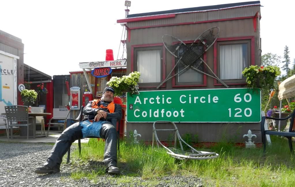
After an hour or so, I decided to take off.  I was happy and my heart was full.  I was also a hell of a long way from home! I rode back down the hill to the Dalton and had to make a decision.  Do I turn right and try to go to Deadhorse or should I turn left and just go back to Fairbanks?  I turned right.  The way I saw it, I would never be here again and this was most likely my only chance to go that far north.  I headed north another 60 miles to Coldfoot Camp and pulled in for gas. I pulled in front of the restaurant and was excited to see Christian and Mustang Joe. He was on his way back down from Deadhorse.  He told me it was very cold, but the roads were not too much worse.  It was only 200 miles further and I was convinced I could make it.  Christian and I ate dinner and talked to the others visiting.  I met people from Texas and a doctor who is a physician at a hospital in Chicago where I designed and deployed a wireless network.  Desolate places like Coldfoot can still make the world seem small.  I was getting ready to leave when a few trucks drove in and emptied out a bunch of oil workers from Prudhoe Bay.  They were heading south because the weather in the north slope was turning.  They all advised that I not try to make it because it would be too cold and wet to camp and there were no typically no hotel rooms available when the weather is bad.  My decision had been made for me.  I was heading south.  Christian and I rode the route together and took turns leading.  The ride back was more relaxing than the ride up.  I suppose it was because I knew what to expect.  Maybe I was more relaxed with the tension of making it to the Circle behind me.  About halfway back to Fairbanks, we passed a tow truck with the broken Honda trike.  I thought to myself, there's an expensive tow.

As I sat up there, i was amazed at the enormous expanse of nothing out there was; miles and miles of land, trees, streams, and mountains; all unspoiled by human “improvement”.  I believe as the years pass, it's easy to grow full of ourselves and marvel at our own accomplishments, abilities, and our possessions. I gotta tell you though, those things quickly become less significant out there.  A ride like this through this sort of majestic scenery does many things to a man.  It makes your butt sore.  It makes your hands go numb. Some of the road conditions will make the fillings in your teeth rattle.  Still, the most profound effect on me was the sense of humility and insignificance I felt in the presence of all I could see.  These mountains were here eons before I rode by them and they will be for eons after I go home. And regardless of what I might think of myself, I know my affect on them is nothing.  I know also that their affect on me will last a lifetime. 


The adventure continues tomorrow as I begin my ride home.  I'll backtrack along the ALCAN and turn south to Prince George and make my way to Seattle.  From there, I plan to ride across the top of the country and tour the Black Hills before turning south to Texas.