Let me start by acknowledging that the details in this entry will probably change dozens of times before the trip, but it's fun to plan it out and consider the possibilities. I'm browsing through my 2006 - 2009 Milepost books like I used to do when I was a kid drooling over toys in the Sears Wish Book. I'm also bookmarking Internet sites like a tourist.
I want to maximize my time seeing the sights in Canada and especially in Alaska, so I plan to speed ball it from Dallas into Canada and then slow the pace and enjoy the view. I figure I can reach Canada at the end of three days if I repeat the pace I ran on my Whidbey Island trip. So far, I'm thinking this way...
Dallas, TX to Denver, CO ~800 miles
Denver, CO to Great Falls, MT ~775 miles
Great Falls, MT to Edmonton, Alberta, Canada ~500 miles
Edmonton to Dawson Creek, British Columbia ~ 370 miles
Dawson Creek to Watson Lake, Yukon Territory ~ 600 miles (gotta see the Signpost Forest)
This leaves me about 600 miles from the U.S. border at Alaska. I suspect there will be plenty of camping and last-chance hotel stops along the way. I'm guessing also that there aren't too many Hilton owned hotel properties where I can cash in my frequent stay points.
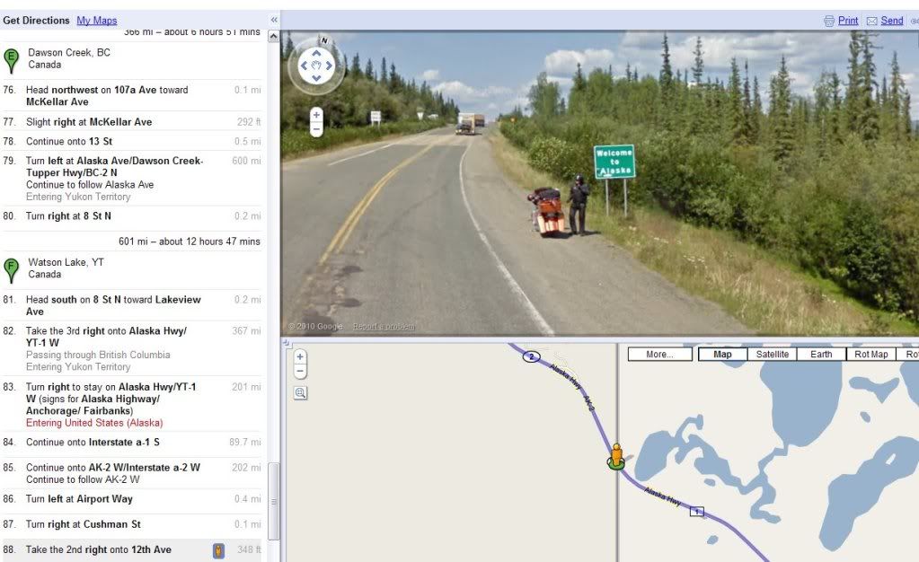
I've been using Google Maps to give me a basic idea of potential routes. I find the satellite imagery of the roads and terrain coupled with the ability to drop to ground level and see a 360° view of any spot I select to be very useful and informative. So I decided to look at the ground view of the Alaska state line heading northwest out of Canada. I found the image displayed by Google Maps at that exact spot to be a profound indication that I am meant to make this trip happen. Click the image on the left or a larger view.