As with each day on the Alaskapade, morning arrived early. It's funny how no matter how utterly exhausted your mind and your body might be after a long day's ride, you still wake up at the crack of dawn ready to ride. Waking up in the hotel in Prince George was no different, except that I wasn't alone. Scot and I packed our gear and readied ourselves for another day in the saddle. Scot was heading to his home near Seattle today and I was going to visit a friend of my mom on Whidbey Island, northwest of Seattle. The previous day's ride had been a slow-paced tour of the Cassiar Highway, which yielded numerous opportunities for us to stop to photograph the abundant wildlife and the seemingly endless majestic scenery.
We decided on this morning that we would concentrate on the road and would dial down the tourist mindset a bit in an effort to try to get "home" with some daylight left. The route was pretty much a straight shot south on the Cariboo (their spelling, not mine) Highway that would deposit us into Sumas, WA after we cleared U.S. customs. It was that simple.
Actually, it wasn't.
 |
| Top of the 99 Loop |
The morning started out with reasonably clear weather and moderate temperatures. There was only a mild threat of rain, but I donned my rain gear anyway. I found that in most cases on this trip, I spent more time on the side of the road putting on and removing my rain gear than I actually spent riding in the rain. It was easier to just wear it since the temperatures were so low. An added benefit was the fact that the non-porous rain suit fabric blocked the occasional blast of cold air we would ride through in mountain passes and water crossings. Scot and I had a great time navigating the Cariboo and taking it all in. There was little traffic to deal with, gas was abundant, and the roads were in great shape. This would be a relaxing ride, culminating with our triumphant return to the USA.
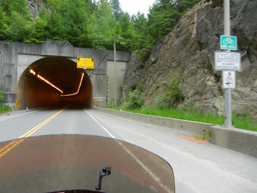 |
| Alexandria Tunnel Entrance |
We had stopped for a quick lunch at a Subway in Hat Creek and were saddling back up to leave when a woman in a car asked us if we were traveling south. Scot answered in the affirmative whereupon she warned us that the previous night's heavy rains had washed out a bridge along our planned route. She advised we take the scenic highway 99 loop, then catch highway 12 into Lyson. I was up for another scenic loop, especially if it meant I wouldn't have to sit in a long line of frustrated cagers. We backtracked a few miles to the 99 junction and headed west. The word "scenic" was an understatement for this loop. This was an awesome ride offering stellar mountain and canyon views, switchbacks along and a thousand feet above roaring rivers, steep climbs, steeper grade drops, and numerous tunnels that dissected the mountains. Entering and exiting the old tunnels gave me a strange feeling of power. It was as if I alone had some super power over physical matter which allowed me to burrow through mountain rock that was as timeless as the earth itself. Whenever I exited a tunnel, I looked back at the mountain through which I had just passed and pondered the man hours it took to complete the structure and marveled at the accomplishment having been performed so long ago without the aid of AutoCAD and Google Earth.
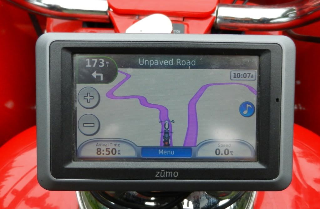 |
| GPS View of the Road Ahead |
Our plan from the start of the morning was to concentrate on riding and get through the 600 miles to the US border. The 99 loop was so picturesque that we couldn't help ourselves. We probably added an extra two hours to our riding time over the course of the additional 41 miles this loop threw at us. I think Scot would agree that it was worth every minute.
Highway 99 merged back into 12 and 12 into 1 and we found ourselves back on track on our intended route. We were relieved that we were able to bypass the washed out bridge and the resulting traffic snarl that went with it. The series of tunnels eventually came to an end near the town of Hope in the southern end of British Columbia. We were on a riding high, having just come through roads many bikers only dream of riding and the U.S. border was less than an hour away. Suddenly, the bottom fell out of the sky and a torrential downpour started. We were suited up for the rain and didn't let it bother us. We just exercised additional caution on the winding roads and kept an eye out for clueless cagers. Then, we came upon what appeared to be a long line of cars crawling along at a snail's pace. We motored along in first gear feathering the clutch and doing that super slow biker crawl, weaving back and forth in our lane trying to see how slow we can go without putting our feet down. Riders know what I'm talking about.
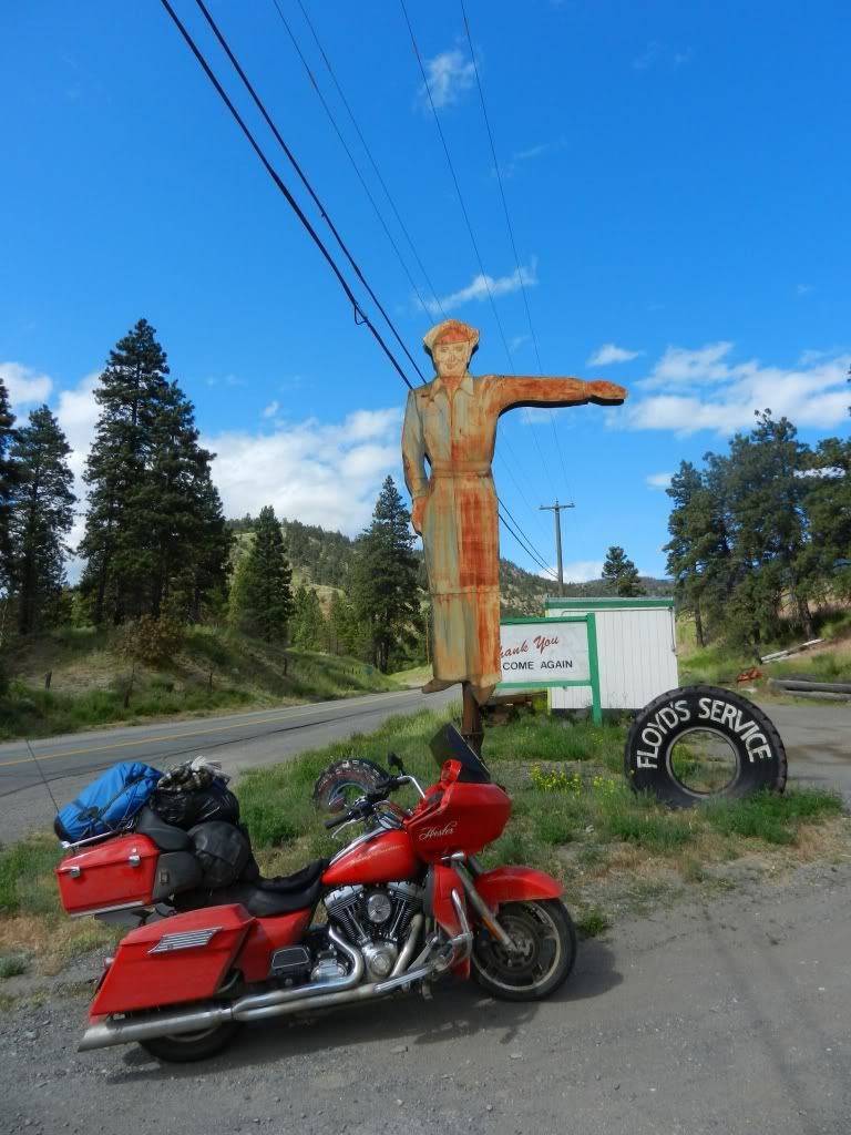 |
| Old School Gas Stop Deep in British Columbia |
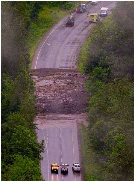 |
| Chiliwack Mud Pack |
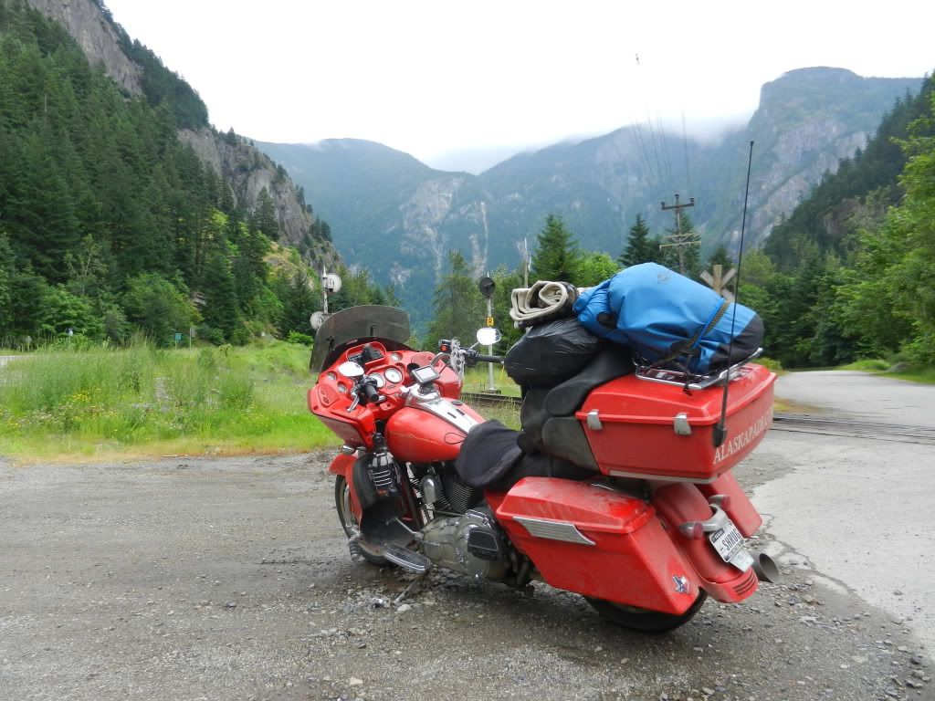 Eventually the snail pace gave way to that of a Louden Wainwright III tune topic. We were sitting dead still and in the middle of the road and the rain was pouring. Cages were ahead of us and behind us as far as we could see. The road wasn't wide enough for cars to turn around and even if they did, there was nowhere to go. We were stuck. So close and yet so far. A road construction worker was making his way along the line of cars explaining what the problem was to the drivers. He told us that the Trans Canadian Highway 1 was blocked in Chiliwack by a mudslide and that all traffic would have to be re-routed. I thought to myself "re-routed where?" We've spent the entire day dodging washed out bridges and closed roads and this was our only way out. The worker asked where we were heading. I told him "Dallas", which caught him off guard a bit. He said we could stay on the road we were on for about eight miles and offered up a detour from there to get us back on to highway 1. Eight miles was nothing. Eight miles in traffic like this in heavy rain was a pain in the butt. Eight miles at zero mph in this rain was eternity.. The worker looked at our bikes and at the shoulder of the road and said "The shoulder's wide enough if you wanna chance it." I think Scot was a bit hesitant. I was not. I rolled over and slowly rode along the narrow shoulder trying not to piss off the cagers sitting dead still just inches to my left. Most of them didn't seem to care., but a few made an obvious effort to block us by pulling over to the right. I just smiled as I gingerly negotiated the muddy slop to the right of the shoulder. Scot's BMW just sailed through these spots. Hester is a fat bottomed girl and as such, remaining vertical at such a slow pace was a challenge to say the least. The thought crossed my mind that after negotiating Destruction Bay and the Dalton all the way up to the Arctic Circle and back, in the blink of an eye I could dump Hester into the mud and lose her in the flooded drainage ditch below. Despite that possibility, I motored on. I checked my rear view mirror and saw that other bikes had joined in our little train. We had to force our way back into traffic briefly to cross bridges with no shoulders, but over time, we covered a great deal of ground all things considered. Along the way we saw herds of campers, numerous overheated and otherwise stalled cars, a few minor rear end collisions, and some dead eighteen wheelers. The rain had mercifully slowed to a light drizzle and by now, some of the camper occupants had given up on making any forward progress and were setting up camp right there on the road. Kids were playing about and waving at at the slow rolling biker procession training by them. I had grown somewhat comfortable with the sloppy, narrow lane I was navigating and rolled by a Mack truck who blasted his air horn as I was right to its side. I think I actually crapped my pants a little and was reminded of my impromptu trip into KFC back in Dawson Creek. That seemed so long ago and so far away. We rode up on a traffic circle that was fed from four sides, all of which were stalled completely. Scot and I carefully made our way around the circle and back onto highway 1. The entire thirteen mile detour took us about three hours to negotiate. The road and the skies simultaneously cleared and we could practically smell the U.S. border. After a quick gas stop and a chance to burn off more Canadian currency, Scot and I discussed the little remaining route we had left before we would go our separate ways. We saddled up and before we knew it, were facing the U.S. border.
The border crossing was wide open when we arrived. Scot and I simultaneously took separate lanes and with a few quickly answered questions, were back in the States. The Customs agent looked at Hester and asked what the Alaskapade.com logo was all about. I explained briefly and he commented that that explained why I had the dirtiest Harley he had ever seen. His comment didn't bother me at all. Hester's filth was well earned. Scot and I rode together for a short while until I peeled off to head for Whidbey Island on the scenic highway 20 and he headed further north towards his home. As we waved each other off, I mulled over how much I enjoyed the two days we spent riding together. What were the odds that two strangers could meet in the Arctic Circle and part ways only to meet up again days later and thousands of miles away? Scot was a class act and a solid rider who like me, answered the call from Alaska and rode solo to the Arctic Circle. I respected the guy as much as I liked him.
I was in a state of deja vu as I rode into Oak Harbor on Whidbey Island. I had been here a year ago having made the 2,300 mile journey from Dallas in 2.5 days on Hester with my mom. Crossing the bridge over Deception Pass was much easier this year than it was last time.
My mom had owned a small retirement place in Oak Harbor and one of her favorite pastimes was collecting rocks from the nearby beaches and placing them in a small rock garden in front of her place. While at the Arctic Circle, I found a rock I thought mom would have liked and since my route took me so close to her after re-entering the US, I took it to her best friend in Oak Harbor whose home I was planning to stay the night before heading home.
Tomorrow would be Thursday. I had ridden over 6,700 miles and still had 2,300 to go to get home. I had never been to such legendary riding spots as Sturgis, Deadwood, the Black Hills, Spearfish Canyon, Yellowstone, Mount Rushmore, and the Chief Crazy Horse monument. I had to ride southeast to get home. I figured I would just ride east to South Dakota and Wyoming and then south to Texas. I could milk the Alaskapade for a few more days.
